
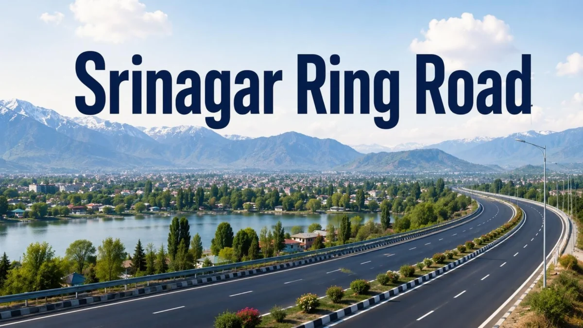
Srinagar, Jammu & Kashmir — The landscape of the Kashmir Valley is on the cusp of a structural transformation as the National Highways Authority of India (NHAI) accelerates work on the Srinagar Ring Road. This ambitious ₹2,920 crore infrastructure project is not merely a road; it is a strategic intervention designed to de-congest the summer capital of Jammu & Kashmir, streamline inter-district logistics, and catalyze a new era of economic prosperity in the region.
As a flagship project under the Prime Minister’s Development Package (PMDP), the Srinagar Semi-Ring Road represents one of the most significant civil engineering undertakings in the Union Territory. Spanning over 60 kilometers of greenfield alignment, the corridor is set to redefine how goods and people move across the valley, bypassing the often-choked arteries of downtown Srinagar.
1. Project Overview: The Blueprint for a Modern Kashmir
The Srinagar Ring Road is a 60.84-kilometer-long, four-lane dual carriageway designed to provide an alternative route for heavy motor vehicles (HMVs) and commercial freight carriers. Currently, traffic traveling from Jammu toward North Kashmir (Baramulla, Kupwara, and Bandipora) must pass through the heart of Srinagar city, leading to massive traffic jams, increased carbon emissions, and logistical delays.
Quick Facts and Technical Parameters
| Project Parameter | Details |
|---|---|
| Project Name | Srinagar Semi-Ring Road / Bypass |
| Implementing Authority | National Highways Authority of India (NHAI) |
| Total Project Length | 60.84 Kilometers (Greenfield Alignment) |
| Configuration | 4-Lane Dual Carriageway |
| Estimated Total Cost | Approximately ₹2,920 Crore |
| Funding Scheme | Prime Minister’s Development Package (PMDP) |
| Districts Impacted | Pulwama, Budgam, Srinagar, Baramulla, Bandipora, and Ganderbal |
| Phase I Completion | Mid-2026 (Revised) |
| Phase II Completion | December 2026 |
The project is divided into two distinct phases, each serving a specific geographical and logistical purpose. Phase I covers 42.10 kilometers, primarily focusing on the southern and western arcs, while Phase II extends 18.74 kilometers toward the northern terminal.
2. Chronology of Development: From Conception to 2026
The journey of the Srinagar Ring Road has been one of persistence against topographical and administrative challenges. The project was initially conceived to address the burgeoning traffic crisis in Srinagar, where the existing bypass had effectively become an internal city road due to rapid urban expansion.
- 2018: The Foundation: The project gained significant momentum following the announcement of the PMDP. Land acquisition processes began across six districts, involving complex negotiations with local agrarian communities, particularly in the saffron-rich belts of Pampore and the fruit orchards of Budgam.
- 2020–2022: Pandemic and Topography: Like most global infrastructure projects, the COVID-19 pandemic introduced delays. However, the NHAI utilized this period to refine the engineering designs, ensuring the highway could withstand the extreme sub-zero temperatures and heavy snowfall characteristic of the Kashmir winters.
- 2023–2024: Execution Surge: Construction entered a high-intensity phase. Major bridges and culverts began taking shape. The alignment through Budgam—a district known for its undulating terrain—required sophisticated earthwork and stabilization.
- 2025–2026: The Final Stretch: While the original completion targets were more aggressive, the complexity of the greenfield alignment led to a revised timeline. Phase I is now expected to be operational by mid-2026, with the entire loop closing by December 2026.
3. Structural Specifications and Engineering Excellence
The NHAI has engineered the Srinagar Ring Road to meet international standards of safety and durability. Unlike traditional roads in the region, this greenfield project is built from scratch on previously undeveloped land, allowing for a straighter, faster, and more efficient alignment.
High-Capacity Design
The four-lane dual carriageway is designed for a speed limit of 100 km/h in plain stretches. It features:
- Reinforced Pavements: Designed to carry the heavy axle loads of trucks transporting timber, fruit, and construction materials.
- Grade Separators and Flyovers: To ensure the "Ring" remains uninterrupted, multiple flyovers and underpasses are being constructed at major intersections like Lasjan and Narbal.
- Drainage Systems: Given the valley’s susceptibility to flooding and heavy precipitation, the project includes an advanced longitudinal drainage system to prevent waterlogging and road erosion.
4. Route Alignment: Bypassing the Bottlenecks
The strategic genius of the Ring Road lies in its route. It starts at Galander in Pampore and terminates at Wayul in Ganderbal, effectively creating a semi-circle around the western side of Srinagar.
Phase I: The Southern & Western Loop (42.10 km)
This segment is the "workhorse" of the project. It connects the industrial and agricultural hubs of Pulwama and Budgam.
- Key Nodes: Galander, Lasjan, Chadoora, and Narbal.
- Impact: This phase will divert all traffic coming from the Jammu-Srinagar National Highway (NH-44) that is headed toward North Kashmir. By avoiding the Pantha Chowk and Batamaloo bottlenecks, travel time for commercial vehicles is expected to drop by nearly 60 to 90 minutes.
Phase II: The Northern Extension (18.74 km)
This segment completes the connectivity to the northern districts.
- Key Nodes: Sumbal and Wayul.
- Impact: Phase II is critical for the tourism and hydro-power sectors. It provides a direct link to Ganderbal, which serves as the gateway to the tourist hotspots of Sonamarg and the strategic Ladakh region via the Zojila Pass.
5. Official Responses and Government Vision
Government officials have frequently highlighted the Srinagar Ring Road as a "lifeline" for the new J&K economy. During various site inspections, representatives from the Divisional Administration and NHAI have emphasized the project’s role in the "Gati Shakti" mission—a national master plan for multi-modal connectivity.
Official Stance:
"The Srinagar Ring Road is not just a transport project; it is an economic corridor," stated a senior official involved in the project oversight. "By removing heavy traffic from the city limits, we are not only making Srinagar more livable for its residents but also reducing the operational costs for our fruit growers and businessmen who rely on timely transport to reach markets in Delhi and beyond."
The Ministry of Road Transport and Highways (MoRTH) has also noted that the project is being monitored via satellite mapping and drone surveys to ensure that the revised 2026 deadlines are met without further cost overruns.
6. Socio-Economic Implications: Beyond the Asphalt
The completion of the Srinagar Ring Road is expected to trigger a multi-sectoral boom in the Kashmir Valley.
Real Estate and Urban Expansion
Data from market research indicates a significant "corridor effect" on land values. Areas that were once considered remote agricultural hinterlands are now becoming prime real estate hubs.
- Narbal Junction: Positioned at the intersection of Phase I and Phase II, Narbal is emerging as a logistical and residential hotspot. Apartment demand here is rising as professionals seek homes that offer easy commutes to both North and South Kashmir.
- Pampore & Galander: The "Saffron Town" is seeing increased commercial interest. The Ring Road allows saffron and dry fruit traders to bypass city traffic, ensuring their perishable goods reach the airport or the national highway faster.
- Ganderbal Suburbs: The northern terminal at Wayul is seeing a spike in interest for "eco-tourism" residential projects. Investors are looking at these areas for vacation homes and boutique resorts that are far from the noise of Srinagar but easily accessible via the new highway.
Logistics and the Fruit Industry
Kashmir’s economy is anchored by its apple and fruit industry. Every year, during the harvest season, thousands of trucks struggle to navigate the narrow city roads of Srinagar. The Ring Road will provide these trucks with a dedicated, high-speed exit route, reducing "farm-to-market" time and minimizing spoilage.
Tourism and Environmental Impact
By diverting thousands of diesel-burning HMVs away from the city center, the Ring Road will contribute to a significant reduction in air pollution in Srinagar. This is vital for the preservation of the city’s heritage sites and the Dal Lake ecosystem. Furthermore, tourists traveling to Gulmarg or Sonamarg will no longer be caught in local commuter traffic, making the "Kashmir experience" more seamless.
7. Conclusion: A Future-Ready Valley
As the NHAI pushes toward the 2026 completion dates, the Srinagar Ring Road stands as a testament to modern engineering’s ability to solve age-old urban problems. It bridges the gap between the rural agrarian economy and the urban commercial center, creating a cohesive network that spans six districts.
While challenges remains—particularly in managing the final stages of construction through the winter months—the trajectory is clear. The Srinagar Ring Road will serve as the backbone of the region’s infrastructure, ensuring that the "Paradise on Earth" is as efficient as it is beautiful. For residents, investors, and travelers, the road ahead looks smoother than ever before.
Disclaimer: This report is based on current project data, NHAI updates, and regional economic analysis. Timelines and costs are subject to change based on government revisions and site conditions. Independent verification of property values is recommended for investment purposes.
