
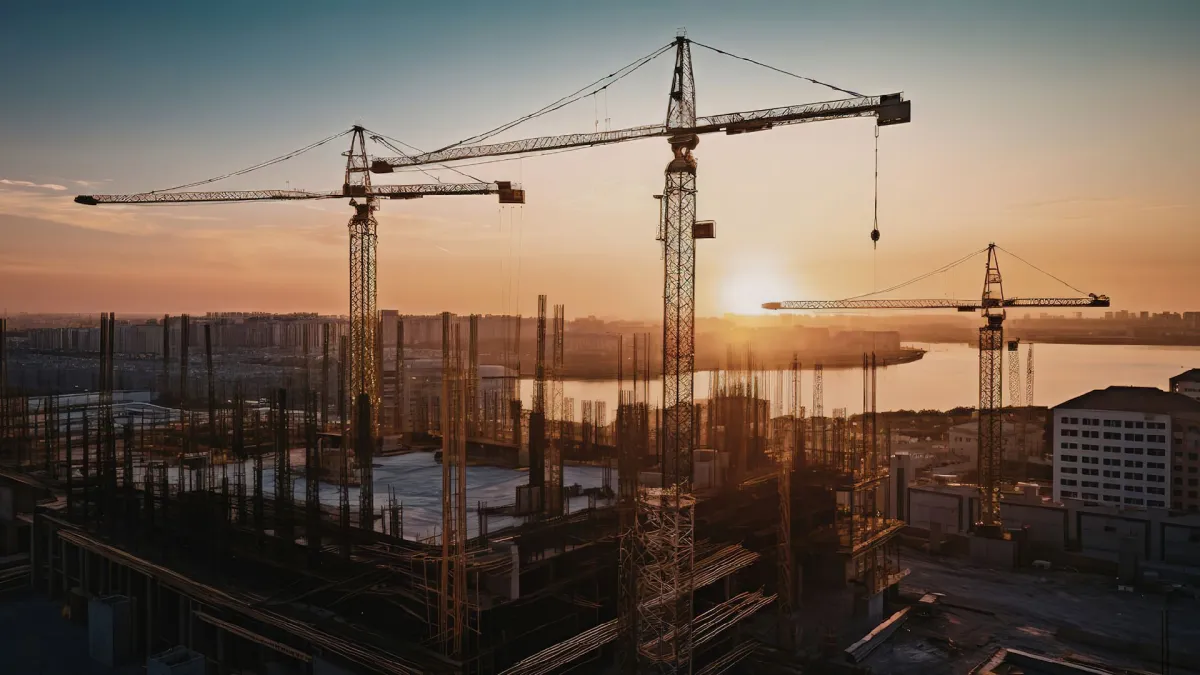
ROORKEE – In the high-stakes race between urban development and environmental preservation, the finish line for many of the world’s vital water bodies is closer than previously imagined. A groundbreaking study, utilizing over three decades of satellite data, has issued a stark warning: while planned buffer zones allow American urban lakes to remain stable for over half a century, unregulated growth in India is pushing critical ecosystems toward a total collapse in as little as 26 years.
The research, a collaborative effort between the Indian Institute of Technology (IIT) Roorkee and the Global Research Institute in the USA, highlights a growing ecological divide. By comparing the urban trajectories of Charlotte, North Carolina, and Gurgaon (Gurugram), Haryana, the study provides a quantitative blueprint of how "grey infrastructure"—the concrete, asphalt, and steel of modern cities—is effectively suffocating the "blue" and "green" spaces essential for human survival.
Main Facts: A Tale of Two Urban Trajectories
The core of the study lies in the "terminal countdown" assigned to specific water bodies. Researchers have identified a "tipping point," a mathematical threshold where the encroachment of impervious surfaces renders a lake’s natural functions—such as groundwater recharge, local cooling, and flood mitigation—irreversible.
In Gurgaon, often dubbed India’s "Millennium City," the outlook is grim. Badshapur Lake, a vital hydrological node in the region, is predicted to reach ecological expiration within 26 years. Its neighbor, Najafgarh Lake, which straddles the border of Delhi and Haryana, is estimated to have only 34 years of functional life remaining.
Conversely, the lakes of Charlotte, USA, tell a story of resilience through regulation. Despite being a rapidly growing metropolitan hub, Charlotte’s lakes are projected to remain ecologically viable for 57 to 63 years. This nearly double lifespan is not an accident of geography but a direct result of enforced buffer zones and stringent environmental zoning that prevents construction from reaching the water’s edge.

The study introduces a novel metric for urban planners: the Blue-Green-Grey Ratio. This ratio measures the balance between water (blue), vegetation (green), and man-made surfaces (grey). When the "grey" expansion exceeds the capacity of the "blue" and "green" to absorb its impact, the ecosystem enters a death spiral. In Gurgaon, this grey expansion is occurring at a staggering rate of 6% annually, compared to just 1.9% in Charlotte.
Chronology: Thirty-Four Years of Satellite Observation (1990–2024)
To reach these conclusions, the international research team embarked on a longitudinal analysis of the Earth’s surface, leveraging images captured by the Landsat satellite program between 1990 and 2024. This 34-year window allowed scientists to witness the transformation of rural landscapes into dense urban jungles in real-time.
The 1990s: The Era of Equilibrium
In the early 1990s, both Charlotte and Gurgaon possessed significant natural buffers. In Gurgaon, the Aravalli foothills and local depressions acted as natural catchments for monsoon runoff. In Charlotte, the Catawba River basin was protected by early-stage conservation mindsets that recognized the importance of water quality for the city’s burgeoning banking and manufacturing sectors.
The 2000s: The Great Divergence
As the new millennium dawned, the paths of the two cities diverged sharply. Charlotte implemented rigorous watershed management plans, ensuring that as the city expanded, a "green ribbon" of parks and restricted zones followed the water.
In contrast, Gurgaon underwent an unprecedented construction boom. Following the liberalization of the Indian economy, the city became a magnet for multinational corporations. However, this growth was largely decentralized and unregulated. Satellite images from this period show "grey" pixels rapidly devouring the "green" peripheries of lakes. Wetlands were filled in for luxury high-rises, and natural drainage channels were paved over to make way for highways.

The 2010s to Present: The Tipping Point
By 2024, the cumulative impact of these decades became clear. The researchers noted that in Gurgaon, the lack of integrated watershed management led to siltation and pollution. The satellite data revealed that the "blue" surfaces were not just shrinking in area but were also losing their "reflectivity signatures," indicating higher levels of turbidity and waste. Charlotte, meanwhile, managed to maintain its lake boundaries, with the "grey" expansion redirected toward designated high-density zones away from sensitive water bodies.
Supporting Data: The Science of the "Blue-Green-Grey" Balance
The study’s findings are underpinned by complex mathematical indices that convert light frequencies captured from space into ecological health scores.
1. Modified Normalized Difference Water Index (MNDWI)
Researchers used MNDWI to isolate water pixels from the surrounding land. This index is particularly sensitive to changes in water surface area and helped the team track the literal "shrinking" of Gurgaon’s lakes as they were encroached upon by illegal settlements and commercial dumping.
2. Normalized Difference Vegetation Index (NDVI)
NDVI was employed to map the health of the "green" buffer. The data showed a catastrophic decline in the plant life surrounding Indian lakes. In many cases, the "green" was replaced directly by "grey," removing the natural filtration system that prevents pollutants from entering the water.
3. Perpendicular Grey Surface Index (PISI)
The PISI was the critical tool for identifying impervious man-made surfaces. Roads, roofs, and parking lots do not allow water to seep into the ground. The study found that when the PISI score of a lake’s immediate surroundings reaches a certain threshold, the lake can no longer recharge the local aquifer. This leads to the "urban desert" phenomenon, where a city may experience flooding during rains (because the water has nowhere to go) and a water crisis during the summer (because the ground didn’t store any of the rain).

The 6% vs. 1.9% Expansion Delta
The most telling data point is the rate of grey expansion. At 6% per year, Gurgaon’s concrete footprint is doubling nearly every 12 years. Charlotte’s 1.9% expansion rate allows for a more gradual adaptation of the environment, giving the "blue" and "green" spaces time to adjust or for planners to implement compensatory measures like artificial wetlands.
Official Responses and Institutional Perspectives
While the study is primarily a scientific endeavor, its implications have resonated within the academic and policy-making communities. Researchers from IIT Roorkee emphasize that the current trajectory is not inevitable but requires an immediate shift in how municipal authorities view "wasteland."
"In many developing urban centers, lakes and wetlands are often miscategorized as wastelands or vacant plots available for development," noted the research team. "Our data proves that these are, in fact, critical infrastructure. If you destroy the lake, you must then spend billions on artificial drainage and water purification systems that the lake was providing for free."
Urban planners in India have historically struggled with enforcement. Even where buffer zones are legislated, the pressure of population density and the high value of real estate often lead to "regularized" encroachments. The study suggests that the lack of a "unified watershed authority" in cities like Gurgaon means that different departments—roads, housing, and environment—often work at cross-purposes.
In the United States, the stability of Charlotte’s lakes is attributed to a "top-down and bottom-up" approach. Federal laws like the Clean Water Act provide the legal teeth, while local community groups and "Riverkeepers" provide the monitoring necessary to ensure that buffer zones are not merely lines on a map but physical realities on the ground.

Implications: The Future of Urban Livability
The study’s conclusion is a sobering roadmap for the future of sustainable development. The "terminal countdown" of 26 years for Badshapur Lake serves as a proxy for a wider crisis facing rapidly urbanizing nations in the Global South.
The "Sponge City" Solution
The researchers advocate for the "Sponge City" concept, where urban design mimics the natural hydrological cycle. By preserving buffer zones, cities allow the earth to "soak up" rainfall. This reduces the risk of the devastating urban floods that have paralyzed cities like Gurgaon and Bangalore in recent monsoon seasons.
The Role of Technology in Enforcement
One of the most forward-looking recommendations of the study is the integration of satellite monitoring with drone surveys. While Landsat provides the "big picture," high-resolution drones can identify specific points of illegal encroachment or waste dumping in real-time. This allows for "legal enforcement with surgical precision," moving away from slow, bureaucratic land surveys.
A Warning for the Future
The researchers warn that their forecasts are actually conservative. The 26 and 34-year lifespans assume that current urbanization trends continue linearly. If population growth or industrial activity accelerates, the "tipping point" could arrive much sooner. Furthermore, the study notes that satellite imagery can sometimes miss "micro-encroachments"—tiny illegal structures that, in aggregate, significantly damage the ecosystem.
Final Outlook
The survival of the natural world in an urban context is not a matter of chance; it is a matter of policy. The contrast between Charlotte and Gurgaon proves that nature can coexist with a growing metropolis, provided the "grey" is not allowed to choke the "blue." For the residents of Gurgaon, the message is clear: the lakes that provide their water and protect them from floods are on life support. Without the immediate enforcement of buffer zones and a halt to unregulated grey expansion, the city may find itself a "millennium city" without a viable future.