

Mumbai, India — The geographic and economic center of gravity in Maharashtra is undergoing a seismic shift. As the historic "Island City" (Mumbai 1.0) reached its saturation point decades ago and the planned satellite city of Navi Mumbai (Mumbai 2.0) matured into a bustling metropolis, a new frontier has emerged. Officially termed "Third Mumbai" or Mumbai 3.0, this ambitious urban expansion is set to redefine the real estate, industrial, and logistical landscape of Western India.
Spanning a massive 324 square kilometers and encompassing 124 villages across the Uran, Panvel, and Pen talukas, Mumbai 3.0 is not merely an extension of the existing city; it is a meticulously planned "New Town" designed to accommodate the spillover of India’s financial capital while fostering a self-sustaining economic ecosystem.
1. Main Facts: The Blueprint of a Megacity
Mumbai 3.0 is envisioned as a sustainable, tech-driven urban center that addresses the chronic congestion of the Mumbai Metropolitan Region (MMR). The project is governed by the New Town Development Authority (NTDA), a body formed to oversee the transformation of these largely semi-rural landscapes into a world-class urban corridor.
The Geographic Scope
The development covers approximately 32,400 hectares. The distribution of the 124 villages is strategically localized to leverage existing and upcoming infrastructure:
- Uran Taluka: Proximate to the Jawaharlal Nehru Port Authority (JNPT) and the sea-link landing points.
- Panvel Taluka: The gateway to the upcoming international airport and a major transit hub.
- Pen Taluka: The southern expansion corridor providing a link to the Alibaug region and the Konkan coast.
A Mixed-Use Ecosystem
Unlike traditional residential suburbs, Mumbai 3.0 is being developed as a polycentric city. The master plan allocates specific zones for:
- Knowledge and Innovation: Dedicated clusters for data centers, R&D labs, and educational institutions.
- Logistics and Warehousing: Capitalizing on the proximity to JNPT, one of the world’s busiest container ports.
- Industrial Hubs: Special Economic Zones (SEZs) designed for non-polluting manufacturing and assembly.
- Commercial Centers: Central Business Districts (CBDs) intended to rival the Bandra-Kurla Complex (BKC).
2. Chronology: From Coastal Villages to Global Hub
The evolution of Mumbai 3.0 has been a multi-decade journey, accelerated significantly by the infrastructure boom of the early 2020s.
- 1970s – 1990s (The Navi Mumbai Precedent): CIDCO (City and Industrial Development Corporation) begins the development of Navi Mumbai to decongest South Mumbai. This provides the template for organized urban expansion.
- 2010 – 2018 (The Planning Phase): The Maharashtra Government identifies the need for a "Third Mumbai" to leverage the proposed Navi Mumbai International Airport (NMIA). Initial talks regarding the Navi Mumbai Influential Notified Area (NAINA) begin.
- 2019 – 2023 (The Infrastructure Catalyst): Construction of the Atal Bihari Vajpayee Sewri–Nhava Sheva Atal Setu (MTHL) moves into high gear. The realization that a 20-minute connection between South Mumbai and the mainland is possible changes the valuation of land in Uran and Panvel.
- January 2024 (The Milestone): The inauguration of the Atal Setu marks the official "opening" of the mainland. The bridge acts as the umbilical cord for Mumbai 3.0.
- Mid-2024 (The Governance Shift): The state government formally notifies the creation of the New Town Development Authority (NTDA) for the 124 villages, decoupling them from standard rural administration to fast-track urban planning.
- 2025 – 2026 (The Implementation Phase): Master planning for the "Smart City" features begins, with significant investments flowing into data centers and logistics parks.
3. Supporting Data: The Numbers Behind the Growth
To understand the scale of Mumbai 3.0, one must look at the economic and demographic projections that underpin the project.
Connectivity Benchmarks
The viability of Mumbai 3.0 rests on the "Golden Triangle" of connectivity:
- Atal Setu (MTHL): Reduces travel time from South Mumbai to the heart of Mumbai 3.0 from 120 minutes to just 20 minutes.
- Navi Mumbai International Airport (NMIA): Expected to handle 60 million passengers annually upon full completion, creating a massive demand for hospitality and commercial real estate.
- Virar-Alibaug Multimodal Corridor: A 126-km project that will connect the northern and southern tips of the MMR, bypassing central congestion.
Economic Impact
- GDP Contribution: The Maharashtra government aims to push the state toward a $1 trillion economy. Mumbai 3.0 is expected to contribute significantly through its focus on the "New Economy"—specifically data centers. Maharashtra currently holds over 45% of India’s data center capacity, and the Uran-Panvel belt is the primary site for future expansion.
- Employment Generation: Preliminary estimates suggest that the planned industrial and commercial zones could create upwards of 500,000 direct jobs over the next decade.
- Real Estate Appreciation: While the market is currently viewed as a long-term play, land prices in parts of Panvel and Uran have seen a steady CAGR (Compound Annual Growth Rate) of 12-15% since the announcement of the Atal Setu’s completion date.
4. Official Responses: A Vision of Governance
Government officials and urban planners have been vocal about the strategic importance of this corridor. The emphasis has shifted from mere "housing" to "integrated living."
State Leadership Perspective:
Senior officials from the Urban Development Department (UDD) have noted that Mumbai 3.0 is the first time the state is using a "transit-oriented development" (TOD) model on such a massive scale. By placing high-density residential and commercial zones along the MTHL and the upcoming Metro lines, the government aims to minimize carbon footprints and maximize efficiency.
The NTDA Mandate:
The New Town Development Authority has clarified that the 124 villages will not be "swallowed" by urban sprawl. Instead, the authority plans to implement a Town Planning Scheme (TPS) similar to the one used in Ahmedabad and parts of Navi Mumbai. Under this scheme, landowners surrender a portion of their land for infrastructure in exchange for developed plots with significantly higher valuations.
Industry Experts:
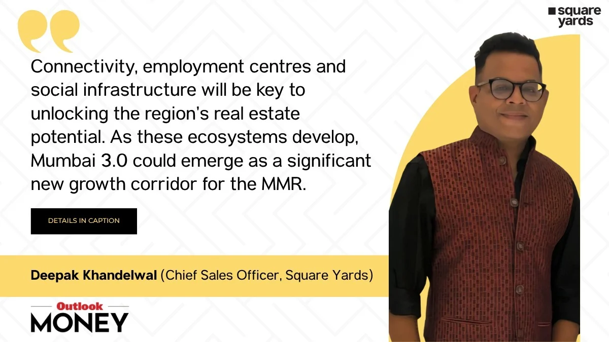
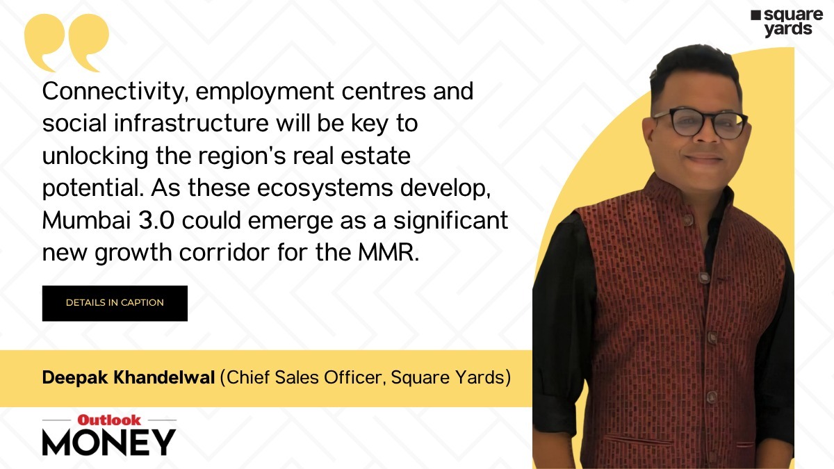
Real estate analysts at firms like Square Yards and JLL have categorized Mumbai 3.0 as a "Wealth Creator" zone. Experts suggest that the focus on "Social Infrastructure"—schools, hospitals, and parks—is being prioritized alongside industrial growth to ensure that the mistakes of unplanned Mumbai (slums and lack of open spaces) are not repeated.
5. Implications: Reshaping the MMR Landscape
The emergence of Mumbai 3.0 carries profound implications for residents, investors, and the environment.
For Homebuyers and Investors
Mumbai 3.0 represents a shift from "speculative" investment to "utility-based" investment. Unlike previous real estate booms that relied on hype, the growth here is backed by concrete, visible infrastructure.
- Affordability vs. Value: While South Mumbai remains out of reach for the middle class, Mumbai 3.0 offers "aspirational housing" at a fraction of the cost, with better amenities and shorter commutes to work hubs.
- The Long-Term Horizon: Analysts warn that this is not a "flip" market. The gestation period for a city of this scale is 10 to 15 years. Early movers are likely to see the highest gains as the ecosystem matures.
For the Logistics and Corporate Sector
With JNPT expanding its fourth terminal and the airport coming online, Mumbai 3.0 is poised to become the logistics capital of India.
- The Data Center Capital: With subsea cable landings nearby and a stable power supply, the region is becoming the preferred destination for global tech giants like Google, Microsoft, and Amazon to house their server farms.
- Corporate Relocation: Much like how companies moved from Nariman Point to BKC in the 2000s, a migration toward the "Aerocity" near the Navi Mumbai Airport is expected by the 2030s.
Environmental and Social Challenges
The transformation of 124 villages is not without friction.
- Ecological Balance: The Uran and Pen regions are home to sensitive wetlands and mangroves. Planners face the arduous task of balancing rapid industrialization with environmental conservation.
- Social Integration: The local agrarian and fishing communities are at a crossroads. The government’s challenge lies in ensuring that the "3.0" vision includes skill development for the local youth, allowing them to participate in the new economy rather than being displaced by it.
Conclusion: The Final Frontier
Mumbai 3.0 is more than just a real estate project; it is a testament to India’s urban ambitions. By integrating the maritime strength of JNPT, the aerial connectivity of NMIA, and the terrestrial speed of the Atal Setu, the 324 sq km corridor is set to become the most significant economic engine of the Mumbai Metropolitan Region.
For the first time in its history, Mumbai is not just growing longer; it is growing smarter. As the 124 villages of Uran, Panvel, and Pen transition into a high-tech urban sprawl, the "Third Mumbai" will likely stand as a global case study in how infrastructure can precede and drive sustainable urban development. The journey from a collection of coastal hamlets to a self-sustaining megacity has begun, and for those looking at the long-term horizon, the map of Mumbai has officially been redrawn.
