
KARAIKKAL, PUDUCHERRY – From a satellite’s perspective, the fish drying center at Arikampettai is a negligible smudge on the edge of the Bay of Bengal. To the uninitiated eye looking at a digital map, it appears as nothing more than a thin strip of concrete punctuated by the occasional blue of a tarpaulin sheet. However, on the ground, this "invisible" patch of land is the beating heart of a complex socio-economic ecosystem that sustains thousands of lives across the Karaikkal district of Puducherry.
As India undergoes a massive bureaucratic exercise to redraw its Coastal Zone Management Plans (CZMP) under the 2019 Coastal Regulation Zone (CRZ) notification, a crisis of visibility has emerged. Because official maps are being drawn at scales that favor industrial planning over local livelihoods, the "coastal commons"—the shared spaces used for drying fish, mending nets, and parking boats—are effectively being erased from the legal record.
Main Facts: The Erasure of the Commons
The conflict centers on the transition from the 2011 CRZ notification to the more controversial 2019 framework. The CRZ is India’s primary legal tool for managing its 7,500-kilometer coastline, designed to balance environmental protection with the needs of traditional fishing communities. It categorizes land up to 500 meters from the High Tide Line (HTL) into various zones (CRZ-I to IV), each with different levels of restriction on construction and industrial activity.
In the villages of Akkampettai, Kilinjalmedu, and Karaikalmedu, the coastal commons are not merely vacant land; they are "workspaces."
- Economic Vitality: For the women of these villages, the concrete strips and sandy patches are open-air factories. Here, they process and dry the catch that provides their families’ primary income.
- Infrastructure Support: For fishermen, these areas are essential for "beach landing"—the practice of bringing boats ashore to mend nets, repair outboard engines, and store equipment.
- Social Fabric: In the evenings, these spaces transform into community hubs where children play and elders gather.
The problem arises during the drafting of the Coastal Zone Management Plans (CZMP). These are the maps that dictate what can and cannot be built on the coast for the next decade. When these maps are drawn at a scale where a single grid covers nearly 196 square kilometers, the granular details of a fish drying yard or a net-mending shed vanish. If a space is not marked on the official CZMP, it legally "does not exist" as a community asset, making it vulnerable to being reclassified for tourism, port expansion, or industrial development.
Chronology: The Evolution of Coastal Governance
The current tension is the result of a decades-long evolution in how India views its shores:
- 1991: The First Notification: The Ministry of Environment and Forests (now MoEFCC) issued the first CRZ notification. It was a landmark move to protect the coast but was criticized for being top-down and failing to recognize the customary rights of fishers.
- 2011: Inclusion and Recognition: Following the 2004 Tsunami and years of protests, the 2011 notification was introduced. It specifically aimed to protect the livelihoods of fishing communities and mandated the preparation of CZMPs with local consultation.
- 2018-2019: The Shift Toward Development: The government introduced the 2019 CRZ notification, which eased several restrictions. Notably, it reduced the "No Development Zone" (NDZ) in certain areas and allowed for more intensive tourism and infrastructure projects.
- 2021-2024: The Mapping Crisis: As states like Puducherry began drafting their new CZMPs under the 2019 rules, the discrepancy between "state maps" and "local reality" became a flashpoint. Public hearings in Karaikal and Puducherry saw fierce opposition as villagers realized their homes and workspaces were missing from the draft documents.
Supporting Data: The Math of Invisibility
The technical core of the dispute lies in the "scale" of mapping. Most official CZMPs are prepared at a scale of 1:25,000. While this is standard for regional planning, it is disastrously inadequate for village-level management.
- The Grid Problem: In some draft maps, the resolution is so low that a single pixel or grid unit can encompass an entire fishing hamlet. When the government uses a 1:25,000 scale, a 1mm line on the map represents 25 meters on the ground. A fish drying yard that is 15 meters wide—crucial for a hundred families—effectively disappears into the thickness of a pen stroke.
- Puducherry’s Vulnerability: Puducherry has a coastline of approximately 45 kilometers. Despite its small size, it has one of the highest densities of fishing populations in India. In Karaikal alone, thousands of families rely on the narrow strip of land between the sea and the coastal roads.
- The "Paper" Loss: According to community activists, nearly 60% of the traditional "commons" in certain Karaikal villages were not reflected in the initial draft maps released by the Puducherry Coastal Zone Management Authority (PCZMA).
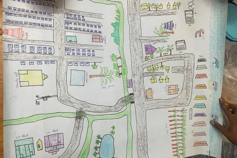
To counter this, communities have taken up "counter-mapping." Using handheld GPS devices and mobile geotagging apps, villagers in Karaikal have created their own maps. They have documented every net-mending shed, every shrine, and every fish drying area, creating a digital "evidence trail" to present at public consultations.
Official Responses and Bureaucratic Hurdles
The official stance from government agencies often cites technical and logistical constraints. Representatives from the Ministry of Environment, Forest and Climate Change (MoEFCC) have historically argued that 1:25,000 is the most feasible scale for a national-level mapping exercise and that "local nuances" can be addressed during the public hearing process.

However, the Puducherry Coastal Zone Management Authority (PCZMA) has faced intense criticism for the way these hearings are conducted. Residents of Karaikalmedu and Kilinjalmedu have pointed out several hurdles:
- Language Barriers: Maps are often provided in English or high-level technical formats that are inaccessible to the local Tamil-speaking fishing population.
- Short Notice: Public hearings are often announced with minimal lead time, preventing communities from organizing and analyzing the complex maps.
- Technical Dismissal: When communities present their own geotagged data, it is often dismissed by officials as "non-scientific" because it was not collected by authorized government agencies like the National Centre for Sustainable Coastal Management (NCSCM).
Planners argue that the CZMP is a "living document" that can be corrected, but activists warn that once a map is "notified" (given final legal approval), changing it requires a lengthy and expensive legal process that most fishers cannot afford.
Implications: What is at Stake?
The stakes of this mapping battle extend far beyond a few strips of concrete in Karaikkal; they touch upon the future of India’s environmental and social stability.
1. Economic Displacement of Women
In the fishing economy, men go to sea, but women manage the land-based economy. By failing to map fish drying centers, the government is effectively making women’s labor invisible. If these lands are reallocated for "eco-tourism" resorts—a key push under the 2019 notification—thousands of women will lose their primary source of independent income, pushing fishing households deeper into poverty.
2. Climate Change and Vulnerability
The 2019 notification and its associated maps are supposed to factor in "Hazard Lines"—areas vulnerable to sea-level rise and storm surges. By using low-resolution maps, the government risks miscalculating where it is safe to build. Erasing the commons often leads to "hard" coastal engineering (like sea walls), which can worsen erosion in neighboring areas and destroy the natural buffer zones that protect villages from the increasing frequency of cyclones in the Bay of Bengal.
3. Legal Precedent for Privatization
The exclusion of commons from the CZMP creates a "legal vacuum." In the eyes of the law, if a piece of land is not marked as being used by the community, it is often classified as "wasteland" or "government land." This makes it much easier for the state to lease the land to private developers for ports, power plants, or luxury hotels. This process has been described by sociologists as "green grabbing"—the appropriation of land for "environmental" or "developmental" purposes at the expense of traditional users.
4. The Erosion of Democracy
The CRZ notification is one of the few environmental laws in India that mandates a public consultation process. However, if the maps provided to the public are inaccurate or unreadable, the "consultation" becomes a sham. The struggle in Karaikal is a litmus test for whether India’s environmental governance will remain a democratic process or become a purely bureaucratic one.
Conclusion
The maps of Puducherry’s coastline are more than just technical drawings; they are documents of power. As the sun sets over Arikampettai, and the women gather their dried fish under the blue tarpaulins, the disconnect between their lived reality and the government’s digital grids remains a looming threat.
The community-led mapping movement in Karaikal shows that fishing villages are no longer willing to be "invisible." They are using the very tools of the state—GPS and cartography—to demand their place on the map. For the regulators in New Delhi and Puducherry, the challenge is now to look beyond the 1:25,000 scale and recognize that the survival of the coast depends on the people who have managed it for centuries. Without a granular, honest, and inclusive mapping process, the "commons" may soon become a memory, replaced by a coastline that is legally organized but ecologically and socially bankrupt.
