

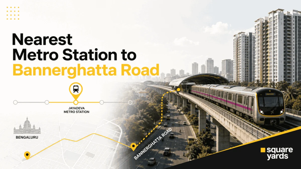
Bannerghatta Road, one of Bengaluru’s most critical arterial corridors, is currently undergoing a massive infrastructural metamorphosis. Spanning nearly 20 kilometers from the bustling Dairy Circle near the city center to the verdant fringes of the Bannerghatta National Park, this stretch has long been a symbol of both Bengaluru’s rapid growth and its notorious traffic congestion. However, the landscape is shifting. With the imminent operationalization of the Yellow Line and the ambitious construction of the Pink Line, the "nearest metro station" to Bannerghatta Road is no longer a simple answer—it is an evolving narrative of urban mobility.
Main Facts: The Current and Future Metro Landscape
For years, residents and commuters on Bannerghatta Road have had to rely on "proxy" connectivity. Currently, the nearest operational metro stations are situated on the periphery of the corridor. To the north, Jayadeva Hospital and Central Silk Board on the Yellow Line serve as the primary gateways. To the west, the Green Line stations of Jaya Prakash (JP) Nagar and Yelachenahalli provide a secondary, albeit less direct, option.
The transformative "game-changer" is the Pink Line (Kalena Agrahara – Nagawara). Unlike existing lines that run parallel to or intersect the road at its northern tip, the Pink Line is designed to run directly along the spine of Bannerghatta Road. This 21.26 km corridor will feature 18 stations, effectively eliminating the "last-mile" struggle for thousands of residents in Gottigere, Hulimavu, and Arekere.
Key Stations and Proximity Highlights:
- Jayadeva Hospital Station: Currently the most vital link, functioning as a massive five-level interchange.
- Central Silk Board: A crucial junction connecting Bannerghatta commuters to the Electronic City IT hub.
- Pink Line Arrivals (2026): Stations at Gottigere (Kalena Agrahara), Hulimavu, and Tavarekere will sit directly on the main road.
Chronology: The Road to 2026
The development of the Namma Metro Phase 2 and 2B projects has been a multi-year saga of engineering challenges and revised timelines. Understanding the chronology is essential for property investors and daily commuters planning their future.
1. The Yellow Line Era (2024-2025)
The Yellow Line, connecting RV Road to Bommasandra, is in its final stages of testing and operational readiness. This line provides the first taste of direct rapid transit for the northern end of Bannerghatta Road. The Jayadeva Hospital interchange, a centerpiece of this line, has already seen its civil structure completed, marking a milestone in Bengaluru’s engineering history as one of the tallest and most complex metro structures in India.
2. The Pink Line Phase 1: The Elevated Stretch (Targeted August 2026)
This phase focuses on the southern, elevated section of the Pink Line. It includes the stations of Kalena Agrahara, Gottigere, Hulimavu, and Tavarekere. These stations are strategically placed near high-density residential zones and commercial hubs like Meenakshi Mall.
3. The Pink Line Phase 2: The Underground Challenge (Targeted December 2026)
The northern segment of the Pink Line dives underground starting from Dairy Circle, passing through Langford Town and MG Road, and terminating at Nagawara. This section is critical for connecting South Bengaluru to the central business district and the northern IT corridors.
Supporting Data: Comparative Analysis of Metro Access
To navigate Bannerghatta Road effectively, one must understand that the "nearest station" depends entirely on which of the road’s three distinct segments you are in.
Segment 1: The Northern End (Dairy Circle to Jayadeva)
This area is currently the best-connected.
- Primary Station: Jayadeva Hospital.
- Secondary Station: Central Silk Board (~1 km away).
- Travel Dynamics: Most destinations here are within a 5–10 minute walk or a very short auto-rickshaw ride.
Segment 2: The Mid-Stretch (JP Nagar, Arekere, Bilekahalli)
Currently, this is a "gap" zone where commuters must travel 1.5 to 3 km to reach the Green Line.
- Primary Station: JP Nagar (Green Line).
- Current Travel: 15–20 minutes by auto-rickshaw.
- Future Status: The upcoming Hulimavu and Tavarekere stations will bring the metro to the doorstep of this segment.
Segment 3: The Deep South (Gottigere to National Park)
This segment currently faces the longest commute to the metro.
- Primary Station: Yelachenahalli (Green Line).
- Current Travel: 8–10 km, often requiring a 30-minute bus or cab ride.
- Future Status: Gottigere (Kalena Agrahara) will become the terminal station for the Pink Line, providing direct access to the southern suburbs.
| Metro Station | Line | Status | Walking/Auto Time |
|---|---|---|---|
| Jayadeva Hospital | Yellow/Pink | Operational (Yellow) | 5-10 min walk |
| Central Silk Board | Yellow/Blue | Operational (Yellow) | 10-12 min walk |
| JP Nagar | Green | Operational | 5-7 min auto |
| Hulimavu | Pink | Opens Aug 2026 | Direct Access |
| Gottigere | Pink | Opens Aug 2026 | Direct Access |
Official Responses and Engineering Hurdles
The Bangalore Metro Rail Corporation Limited (BMRCL) has frequently addressed the complexities of the Bannerghatta Road projects. Officials have noted that the Jayadeva Hospital interchange was one of the most difficult segments to execute, requiring the demolition of a major flyover to make way for the multi-level metro tracks and a new road flyover.
Regarding the Pink Line, BMRCL’s official stance remains cautiously optimistic. While August and December 2026 are the current targets, officials have highlighted that underground tunneling in Bengaluru’s hard granitic terrain often presents unpredictable delays. The deployment of several Tunnel Boring Machines (TBMs) like ‘Bhadra’ and ‘Vamika’ has been a point of regular public updates, signaling the project’s steady, if slow, progress.
The widening of Bannerghatta Road from 80 feet to 160 feet is another government initiative running parallel to the metro work. State officials have emphasized that the synergy between road widening and metro construction is essential to prevent the "bottleneck effect" once the new stations become operational.
Implications: Real Estate and Socio-Economic Shifts
The "Metro Effect" is already visible in the socio-economic fabric of the Bannerghatta corridor. Real estate in this belt has transitioned from being a "budget" alternative to South Bengaluru’s premium pockets to becoming a high-demand investment zone.
1. Real Estate Appreciation
Property prices near upcoming Pink Line stations like Hulimavu and Gottigere have seen a steady climb. Current land rates hover between ₹9,500 and ₹13,000 per sq. ft., with luxury apartment projects increasingly replacing older standalone homes. The proximity to IIM Bangalore and major hospitals (Fortis, Apollo) makes this a lucrative rental market for professionals and students.
2. Commercial Transformation
The stretch is evolving into a secondary business district. With the Pink Line connecting Bannerghatta Road to MG Road in under 25 minutes, many mid-sized firms are eyeing office spaces in Arekere and Bilekahalli, moving away from the saturated and more expensive CBD.
3. The Last-Mile Economy
The shift toward metro usage is giving rise to a new "last-mile" ecosystem. We are seeing an increase in organized e-bike rentals and feeder bus services. However, the Central Silk Board remains a challenge; even with the metro, the sheer volume of road traffic means that multimodal integration—where one can seamlessly switch from a metro to a bus or cycle—will be the only way to truly "beat" the congestion.
Conclusion: A Corridor in Transition
Bannerghatta Road is no longer just a long, congested path to the National Park; it is becoming a benchmark for urban redevelopment in Bengaluru. The transition from the "Green Line Gap" to the "Pink Line Direct" represents a significant leap in quality of life for residents.
While the wait until 2026 may seem long for those stuck in today’s traffic, the data suggests that the integration of the Yellow and Pink lines will create a connectivity matrix unrivaled by most other parts of the city. For now, commuters must choose their "nearest station" with tactical precision—using Jayadeva for the north and JP Nagar for the south—while keeping a close eye on the rising concrete pillars of the Pink Line that promise a faster, smoother tomorrow.
Frequently Asked Questions
1. Which metro line is best for reaching Electronic City from Bannerghatta Road?
The Yellow Line is your best bet. You can board at Jayadeva Hospital or Central Silk Board for a direct ride to Electronic City without any interchanges.
2. Is there a direct metro to the Bangalore Airport from Bannerghatta Road?
Not yet. The future Blue Line will provide an airport link from Central Silk Board. Currently, taking a cab via NICE Road remains the most efficient route.
3. Will the Pink Line be underground on Bannerghatta Road?
Only the northern section (from Dairy Circle towards Nagawara) is underground. The southern section, including Gottigere and Hulimavu, is elevated.
