
Few infrastructure projects in the recent history of Maharashtra carry stakes as high as the Pune Metropolitan Region Development Authority’s (PMRDA) proposed Inner Ring Road. This ₹14,200-crore transport corridor is far more than a simple engineering feat; it is being positioned as the most consequential intervention in Pune’s urban geography since the IT-led transformation of Hinjawadi at the turn of the millennium.
As the project moves from blueprint to the initial stages of land acquisition and surveying, it has become a focal point for a broader debate on the future of Indian urbanization. While proponents see a vital artery that will unlock economic potential and alleviate crippling congestion, critics and affected residents see a potential catalyst for displacement, environmental degradation, and unsustainable urban sprawl.
Main Facts: The Anatomy of a Mega-Project
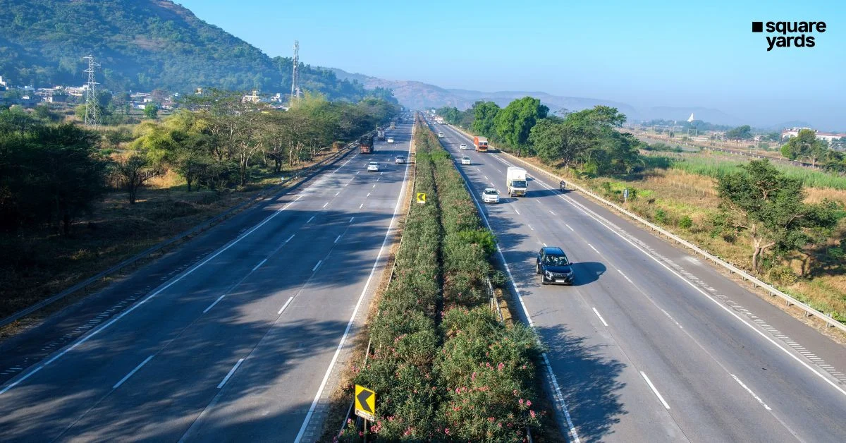
The PMRDA Inner Ring Road is a massive undertaking designed to create a high-speed orbital network around the rapidly expanding peripheries of Pune and Pimpri-Chinchwad. The project’s scale is reflected in its technical specifications and geographical reach:
- Total Length: The primary phase of the Inner Ring Road will span approximately 83.12 kilometers. However, future extensions and supplementary networks could eventually expand this to nearly 128 kilometers.
- Physical Footprint: The road is planned with a width of 65 meters, necessitating the acquisition of more than 720 hectares of land across the region.
- Financial Outlay: The estimated project cost stands at ₹14,200 crore, covering construction, land acquisition, and rehabilitation.
- Strategic Connectivity: The corridor is designed to link the city’s most critical industrial and residential hubs, including:
- The IT Corridor: Hinjawadi and surrounding suburban belts.
- Industrial Zones: Chakan MIDC and Talegaon.
- Logistics & Aviation: Lohegaon Airport and the eastern industrial belts.
- Emerging Suburbs: Wagholi, Moshi, Undri, and Manjari.
- Administrative Scope: The project cuts across more than 40 villages situated within the Haveli, Mulshi, Maval, and Khed talukas.
The objective is to create a "ring" that allows heavy vehicular traffic—particularly industrial freight moving between Chakan, Talegaon, and the highways—to bypass the city’s congested core, thereby redistributing the traffic load.
Chronology: From IT Hub to Infrastructure Crisis
To understand the urgency behind the Inner Ring Road, one must look at the timeline of Pune’s growth over the last two and a half decades.
- 2000–2010: The Transformation Phase. The establishment of the Rajiv Gandhi Infotech Park in Hinjawadi and the expansion of the manufacturing sector in Chakan transformed Pune from a "Pensioner’s Paradise" into a global IT and automotive hub.
- 2010–2020: The Sprawl Phase. Rapid economic growth led to an explosion in the population. Residential development outpaced infrastructure, leading to the rise of "fringe areas" like Wagholi and Pirangut, which lacked adequate road connectivity and civic amenities.
- 2020–2024: The Congestion Peak. By the early 2020s, Pune’s vehicle density became one of the highest in India. The lack of a comprehensive orbital road meant that intercity traffic and local commuters were forced onto the same narrow arterial roads.
- January 2025: The Global Ranking. The 2025 TomTom Traffic Index officially ranked Pune as the second-most congested city in India and the fifth-most congested globally. The data revealed that commuters spend an average of 36 minutes and 9 seconds traveling just 10 kilometers during peak hours.
- November 2025: The Flashpoint. As PMRDA intensified survey activities for the Inner Ring Road, localized resistance turned into organized protest. In areas like Kadamwak Wasti and Jambhulwadi, residents halted government officials, demanding a realignment of the road to save homes and ancestral farmlands.
Supporting Data: The Cost of Congestion and the "Induced Demand" Trap
The push for the Inner Ring Road is backed by sobering statistics regarding Pune’s mobility crisis. With more than one crore (10 million) registered vehicles in the metropolitan region, the existing road network has reached a breaking point. According to traffic studies, the average Pune commuter loses an estimated 168 hours annually—the equivalent of an entire week—sitting in traffic.
However, transport economists warn that building more roads may not be a permanent solution. This is due to the phenomenon of "Induced Demand."
- The Feedback Loop: When a new high-speed corridor is built, it initially reduces travel time.
- Behavioral Change: Shorter travel times encourage more people to buy private vehicles and move further into the suburbs.
- The Saturation Point: Within a few years, the new road becomes as congested as the old ones, as the increased capacity has simply "induced" more traffic that didn’t exist before.
Urban mobility experts argue that for the Inner Ring Road to be successful, it must be integrated with the Pune Metro and PMPML (bus) services. Without "last-mile connectivity" at the junctions of the ring road, the project may inadvertently reinforce the city’s dependence on private cars rather than solving the long-term mobility challenge.
Official Responses and Governance Challenges
The PMRDA, as the primary executing agency, faces the daunting task of balancing engineering speed with social sensitivity. Officials have maintained that the Inner Ring Road is "non-negotiable" for the city’s survival.
Land Acquisition Strategy:
The PMRDA has initiated valuation processes across the 40+ affected villages. To mitigate resistance, the authority has hinted at compensation packages that reflect current market rates and potential rehabilitation for displaced families. However, the sheer scale of land required—720 hectares—makes this one of the most complex land acquisition exercises in Maharashtra’s history.
The Coordination Hurdle:
The project’s success depends on seamless coordination between multiple government bodies:
- PMRDA: For regional planning and execution.
- PMC & PCMC: For integrating the ring road with municipal internal roads.
- MSRDC & NHAI: For managing the intersections with national highways and the existing Expressway.
Urban planners have called for a "Unified Metropolitan Transport Authority" (UMTA) to ensure these agencies don’t work in silos. Without a coordinated zoning policy, the land surrounding the new road could fall prey to unregulated, fragmented development, creating new slums and poorly planned "urban jungles" even before the road is finished.
Implications: Real Estate, Livelihoods, and the Environment
The consequences of the Inner Ring Road extend far beyond the asphalt. The project is already rewriting the economic map of the Pune Metropolitan Region.
1. Real Estate and the Multi-Nodal Shift
Even before the first stone is laid, investor interest in Wagholi, Moshi, Lohegaon, and Manjari has surged. Industry observers anticipate a shift away from the "centralized" model of Pune development. Instead, the Inner Ring Road will likely foster a "multi-nodal" city, where integrated townships, logistics parks, and warehousing clusters emerge at key junctions. This mirrors the growth patterns seen around Hyderabad’s Outer Ring Road (ORR), which transformed the city’s periphery into a high-value economic zone.
2. The Human Cost: Displacement and Livelihoods
For the residents of Kadamwak Wasti and Jambhulwadi, the project is not an "economic opportunity" but an existential threat. Many of the affected families are peri-urban farmers whose land is their only source of livelihood. The November 2025 protests highlighted a growing sentiment: development should not come at the cost of the "original inhabitants" of the land. The challenge for the government is to prove that "rehabilitation" is more than just a financial transaction, but a restoration of social and economic stability.
3. Environmental Sustainability
Environmentalists have raised red flags regarding the project’s impact on Pune’s natural topography. The proposed alignment passes through several ecologically sensitive areas, including hill slopes and natural drainage basins.
- Drainage Disruptions: Large-scale concrete construction can alter the natural flow of rainwater, potentially leading to increased urban flooding in lower-lying areas of the city.
- Groundwater Stress: The rapid urbanization of the periphery will place immense pressure on groundwater reserves, which are already depleting in areas like Wagholi and Undri.
Conclusion: A Defining Moment for Pune
The PMRDA Inner Ring Road is a litmus test for Pune’s maturity as a global city. If executed with transparency, integrated with mass public transport, and governed by strict environmental and zoning regulations, it could be the "silver bullet" that saves Pune from its own growth. It offers a chance to decentralize the city, reduce the burden on the core, and create a modern, efficient metropolitan region.
However, the risks are equally high. If land acquisition remains a source of conflict, and if the project merely leads to a new wave of automobile-dependent urban sprawl, the ₹14,200-crore investment may only provide temporary relief.
As the next decade unfolds, the Inner Ring Road will determine whether Pune becomes a model for balanced, multi-nodal urban expansion or a cautionary tale of infrastructure failing to keep pace with the complexities of human and environmental needs. The road ahead is long, and for the residents of Pune, the stakes could not be higher.
