

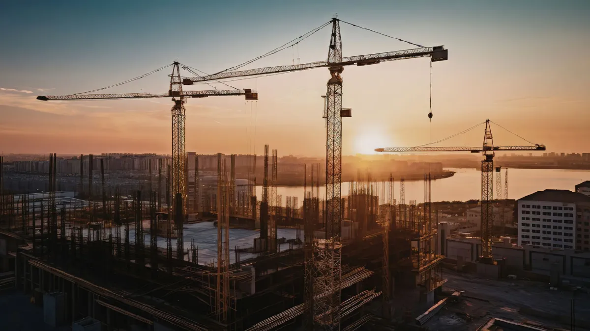
ROORKEE – In the high-stakes race between economic development and environmental preservation, the finish line for many of India’s urban water bodies is drawing perilously close. A landmark study conducted by an international team of researchers has issued a stark warning: without immediate and drastic intervention, some of India’s most critical urban lakes have a terminal countdown of just over two decades before they lose all ecological function.
The research, a collaborative effort between the Indian Institute of Technology (IIT) Roorkee and the Global Research Institute in the USA, utilized over 30 years of high-resolution satellite data to track the decline of water bodies in Gurgaon, India, and compare them against the relatively stable lake systems of Charlotte, North Carolina, in the United States. The findings, published this month, reveal a harrowing disparity driven not by climate change alone, but by the tangible presence—or absence—of enforced environmental zoning.
The Main Facts: A Tale of Two Cities
The study highlights a "tipping point" where the encroachment of human-made surfaces—roads, buildings, and drainage systems, collectively known as "grey infrastructure"—overwhelms the natural "blue" (water) and "green" (vegetation) systems.
In Gurgaon, a city often hailed as a symbol of India’s rapid modernization, the ecological outlook is grim. The researchers predict that Badshapur Lake, once a vital part of the region’s hydrology, has a remaining functional lifespan of only 26 years. Its larger neighbor, Najafgarh Lake, which straddles the border between Haryana and Delhi, is expected to reach its tipping point in 34 years.
By contrast, the urban lakes in Charlotte, USA, tell a story of resilience. Despite also being a growing metropolitan area, Charlotte’s lakes are projected to remain ecologically sustainable for at least another 57 to 63 years. The difference, according to the research team, lies in the "buffer zones"—protected strips of land around water bodies where construction is strictly prohibited. While Charlotte has enforced these boundaries, Gurgaon’s "grey" expansion has been largely unregulated, leading to a slow-motion environmental catastrophe.

Chronology of Decay: 1990–2024
To understand the current crisis, the researchers looked back three decades, using Landsat satellite imagery to map the evolution of the landscape from 1990 to 2024. This longitudinal approach allowed them to calculate the "grey expansion rate," a metric that tracks how quickly concrete is replacing soil.
The 1990s: The Era of Permeability
In the early 1990s, both Charlotte and Gurgaon maintained a healthy balance of blue, green, and grey surfaces. In Gurgaon, although the city was beginning its ascent as a corporate hub, the natural drainage basins and lake peripheries remained largely intact. The soil was permeable, allowing monsoon rains to recharge groundwater and feed the lakes naturally.
The 2000s: The Boom and the Breach
As the turn of the millennium brought an explosion of real estate development to Gurgaon, the "grey" surface area began to accelerate. Developers, often operating in a regulatory vacuum, began constructing high-rises and commercial complexes directly on the floodplains and catchment areas of Badshapur and Najafgarh. During this period, Charlotte also grew, but municipal authorities reinforced zoning laws that mandated "green belts" around their primary water reservoirs to prevent runoff and pollution.
2010–2024: The Chokehold
By the last decade, the disparity became undeniable. The study found that Gurgaon’s grey surfaces have been expanding at a staggering rate of approximately 6% annually. In contrast, Charlotte’s grey expansion was throttled to just 1.9% in sensitive areas. This unchecked growth in Gurgaon has led to the "suffocation" of lakes; the concrete prevents water from entering the ground, leading to increased surface runoff, which carries silt, garbage, and pollutants directly into the lake beds, effectively filling them in and killing their biological life.
Supporting Data: The Blue-Green-Grey Ratio
The core of this research lies in a novel mathematical metric developed by the team: the Blue-Green-Grey Ratio. This method quantifies how much "grey" infrastructure an ecosystem can withstand before it loses its ability to self-regulate.

To process the decades of satellite imagery, the scientists employed three key mathematical indices:
- Modified Normalized Difference Water Index (MNDWI): Used to isolate and highlight water pixels in satellite photos, allowing for precise measurement of a lake’s surface area over time.
- Normalized Difference Vegetation Index (NDVI): Used to map the health and density of plant life surrounding the water bodies.
- Perpendicular Grey Surface Index (PISI): A specialized tool used to identify impervious man-made surfaces like asphalt and concrete.
By layering these indices, the researchers created "landscape interaction indicators." These indicators showed that in Gurgaon, the lack of integrated watershed management has led to a collapse of the "blue-green" synergy. When vegetation (green) is removed to make way for buildings (grey), the water (blue) has nowhere to go. This results in the "urban heat island" effect and chronic flooding, as the natural "sponges" of the city—the lakes—are too clogged with silt and surrounded by concrete to absorb excess rainfall.
Official Responses and Expert Insights
While local municipal authorities in Gurgaon have often pointed to "unprecedented rainfall" as the cause of the city’s frequent floods, the IIT Roorkee study places the blame squarely on planning failures.
Dr. Anirban Mukhopadhyay, one of the lead researchers, emphasizes that the "tipping point" is not a distant theoretical concept but a mathematical certainty based on current trends. "The data shows that we are building ourselves into a corner," he noted. "When you replace a natural catchment area with 6% more concrete every year, you aren’t just building a city; you are dismantling a life-support system."
Environmental planners from the Global Research Institute added that the American model in Charlotte provides a "blueprint for survival." They argue that the longevity of Charlotte’s lakes is not an accident of geography but a result of "enforced buffer zones." In the US, the Clean Water Act and local zoning ordinances provide a legal framework that makes it nearly impossible to build within a certain distance of a protected water body. In India, while laws like the Wetlands (Conservation and Management) Rules exist, their enforcement at the local level is often compromised by economic pressure and land-use changes.

Implications: A Future of Floods or a Future of Flow?
The implications of this study are profound for the millions of residents in India’s National Capital Region (NCR). Urban lakes are not merely aesthetic features; they serve three critical functions:
- Groundwater Recharge: They are the primary source for replenishing the aquifers that provide drinking water to the city.
- Flood Mitigation: They act as natural basins that catch and hold monsoon rains, preventing streets from turning into rivers.
- Micro-climate Regulation: They help lower the ambient temperature of the city, combatting the extreme heatwaves that have become more frequent in North India.
The study warns that if population growth and urbanization trends accelerate beyond the rates seen over the last 30 years, the 26-year and 34-year lifespans for Badshapur and Najafgarh could be cut even shorter.
Furthermore, the researchers noted a limitation in satellite technology: it often misses "micro-encroachments," such as small-scale illegal settlements or localized dumping. To combat this, they are calling for the integration of high-resolution drone surveys. Drones can provide a "street-level" view of encroachment, offering local authorities the "smoking gun" evidence needed for legal enforcement against illegal construction on lake beds.
Conclusion: The Road to Resilience
The IIT Roorkee study serves as a final wake-up call for urban planners in developing nations. It proves that "nature-based solutions"—such as the restoration of wetlands and the strict enforcement of non-construction zones—are not "anti-development." On the contrary, they are the only way to ensure that cities remain livable in the long term.
For a city like Gurgaon, the path forward requires a shift from "grey-first" to "blue-green-integrated" planning. This includes:

- Mandatory Buffer Zones: Establishing a minimum 500-meter "no-construction" radius around all remaining water bodies.
- Siltation Removal: Active dredging of Badshapur and Najafgarh to restore their original depth and holding capacity.
- Permeable Paving: Encouraging the use of materials in new construction that allow water to seep into the ground rather than running off.
As the study concludes, the survival of India’s iconic landscapes—from the spectacled cobra in the wild to the urban lakes in our backyards—depends on recognizing that we are part of a single, connected ecosystem. In the battle between concrete and the natural world, the concrete may win the short-term economic race, but the natural world’s defeat will ultimately leave our cities uninhabitable. The clock is ticking, and for Gurgaon’s lakes, the next decade will decide whether they remain sources of life or become mere memories buried under the asphalt.
