

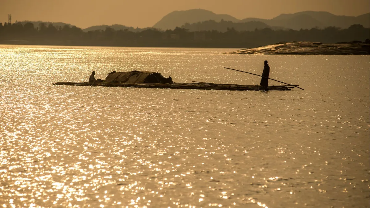
For the millions of residents living along the banks of the Brahmaputra River, the water flowing from their tube wells is more than a convenience; it is the fundamental essence of survival. However, beneath the lush landscape of Northeast India lies a complex, invisible geological lottery. In a single village, one well may provide cool, life-sustaining water, while another just a few hundred meters away serves a slow-acting poison.
A landmark study conducted by a multi-institutional team of Indian scientists has finally decoded the mechanism behind this lethal unpredictability. Researchers from the Indian Institute of Technology (IIT) Kharagpur, the CSIR-National Institute of Oceanography (CSIR-NIO), and the Bhabha Atomic Research Centre (BARC) have identified that the physical arrangement of sand and clay deep underground—a phenomenon known as aquifer heterogeneity—is the primary driver of arsenic and nickel contamination in the region.
Main Facts: The "Biogeochemical Sieve" Mechanism
The core of the discovery lies in how underground layers of clay act as biological triggers. The Brahmaputra River Basin is a "layered cake" of sediments deposited over millennia. The researchers found that the presence or absence of thick, heavy clay layers fundamentally alters the chemistry of the water trapped in the aquifers below.
The Role of Oxygen
In a healthy, sandy aquifer, the soil is porous. This allows oxygen-rich rainwater and surface water to trickle down into the water table. In these "oxidizing" environments, toxic elements like arsenic, nickel, iron, and manganese remain chemically bonded to the surface of minerals. They are, in essence, "locked" away and cannot dissolve into the water.
The Clay Trap
The danger arises when a thick, impermeable layer of clay sits atop an aquifer. This clay acts as a "biogeochemical sieve" or a lid, preventing new oxygen from reaching the water below. In this oxygen-starved environment, specialized anaerobic bacteria begin to consume organic matter. To do so, they must strip oxygen away from the surrounding mineral structures. This process, known as "reduction," causes the minerals to dissolve. As the mineral "scaffolding" collapses, the trapped arsenic and nickel are released directly into the groundwater supply.

Chronology: Unraveling the Subsurface Mystery
The quest to understand the Brahmaputra’s contamination has spanned decades, but previous models often failed to account for the extreme localized variation in water quality.
Phase 1: Identifying the Hotspot
For years, the Brahmaputra River Basin has been recognized as a global hotspot for geogenic (natural) contamination. Unlike industrial pollution, this contamination is baked into the earth itself. However, the distribution was frustratingly random. Initial theories suggested that heavy groundwater pumping for agriculture was the primary culprit, pulling toxins from deeper layers.
Phase 2: The Field Investigation
To test these theories, the research team launched an intensive field campaign. They focused on a 90-kilometer stretch across the river, spanning various geological terrains. The team sampled 114 different wells to create a high-resolution map of contamination.
Phase 3: Drilling for Answers
To move beyond surface observations, the researchers drilled ten deep boreholes. These boreholes allowed them to extract sediment cores, giving them a vertical "history" of the river’s deposits. By analyzing the grain size, mineral composition, and the presence of organic matter in these cores, they could see exactly where the clay layers were positioned relative to the water-bearing sands.
Phase 4: Data Synthesis (2024-2026)
By 2026, the synthesis of this data provided a clear picture: the contamination wasn’t just about how much water was being pumped, but about the specific "sedimentary architecture" of the land. This shifted the focus from human activity to natural geological layout as the dominant factor in this specific basin.

Supporting Data: A Tale of Two Banks
The study revealed a stark and significant difference between the northern and southern banks of the Brahmaputra, providing a geographical blueprint for future water safety.
The Northern Bank: The Himalayan Influence
The northern bank is characterized by "alluvial fans"—cone-shaped deposits of sand, gravel, and silt formed by fast-flowing water coming off the Himalayas.
- Geology: Primarily sandy and porous.
- Water Quality: Higher oxygen levels allow for better "flushing" of the system.
- Contamination Levels: Generally lower, with most wells falling within or near safe limits.
The Southern Bank: The Clay Sequences
In contrast, the southern bank is dominated by thick, ancient clay sequences. These layers create the intense oxygen-reducing conditions described by the researchers.
- Geology: Heavy, impermeable clay traps.
- Contamination Levels: The researchers found arsenic concentrations reaching as high as 400 micrograms per liter.
- The WHO Benchmark: The World Health Organization (WHO) limit for arsenic is a mere 10 micrograms per liter. This means some wells on the southern bank are delivering water that is 40 times the safe limit.
Chemical Co-occurrence
The study also highlighted the simultaneous release of nickel. While arsenic often receives the most attention, the presence of nickel in reducing environments adds another layer of toxicity to the water, complicating the health profile of the affected populations.
Official Responses and Scientific Consensus
The findings have sent ripples through the scientific and governmental communities in India. While official policy has long focused on "blanket" solutions—such as installing filters on all wells—this research argues for a more surgical approach.

Institutional Framework
The collaboration between IIT Kharagpur, CSIR-NIO, and BARC represents a unified front of India’s premier scientific bodies. Representatives from these institutions suggest that the "well-to-well" prediction model developed through this study is a game-changer. It allows for "aquifer mapping," a process where the government can identify exactly which depths and which locations are safe for drilling.
The Pumping Debate
The study provides a crucial nuance to the existing scientific literature. While the neighboring Ganges-Brahmaputra-Meghna delta models suggested that modern water pumping was the primary driver of arsenic migration, the IIT Kharagpur team argues that in the Brahmaputra basin, the natural geological disposition of clay is the "dominant factor." This suggests that even without heavy pumping, many of these wells would still be toxic due to the "clay trap" mechanism.
Health and Societal Implications
The stakes of this research could not be higher. In India, more than 70 percent of the population relies on groundwater for their daily needs. In the Brahmaputra basin, this reliance is nearly absolute in rural areas.
The Human Toll
Chronic exposure to arsenic and nickel is a "slow-motion disaster." The health impacts include:
- Dermatological Issues: Skin lesions and hyperpigmentation are often the first visible signs.
- Internal Cancers: Long-term ingestion is linked to bladder, lung, and kidney cancers.
- Cardiovascular Disease: Arsenic contributes to the hardening of arteries and increased heart disease risk.
- Developmental Delays: In children, these toxins are linked to neurological issues and impaired cognitive development.
Economic Impact
The burden of disease in these "high-risk" clay zones perpetuates a cycle of poverty. Families often spend a significant portion of their income on healthcare for arsenic-related ailments, and the loss of productivity due to chronic illness further hampers the region’s economic growth.

The Path Forward: Predictions and Mapping
The researchers are quick to point out that their work is not yet finished. The Brahmaputra is one of the most dynamic river systems in the world.
Seasonal Fluctuations
The river’s massive rise and fall during the monsoon season could cause "redox zones" to shift. As the water table rises and falls, the boundaries where oxygen meets the "reducing" zones may migrate vertically. The researchers emphasize the need for ongoing monitoring to see how these toxic zones change with the seasons.
The Need for Detail
The team has called for even more "quantitative sedimentological data." This means mapping the specific grain sizes and mineral types across the entire basin. By refining these models, they hope to create a digital map that local authorities can use to tell a villager exactly how deep they need to drill to reach the "safe" sandy layers beneath or above the clay traps.
Conclusion
The study by IIT Kharagpur, CSIR-NIO, and BARC has pulled back the curtain on a hidden geological process that has endangered lives for generations. By identifying the southern bank’s clay-heavy geology as a natural high-risk zone, the research provides a practical, evidence-based tool for ensuring sustainable drinking water.
For the millions living in the Brahmaputra River Basin, the difference between a healthy life and a slow poisoning may now depend on how quickly these scientific insights are translated into local drilling policies. The "biogeochemical sieve" has been identified; the next challenge is to navigate it.
