

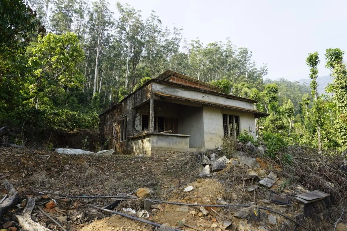
The verdant slopes of the Western Ghats in Karnataka, a UNESCO World Heritage site and one of the world’s eight "hottest hotspots" of biological diversity, are facing a precarious future. A groundbreaking study published in the prestigious journal Scientific Reports has issued a stark warning: the dual forces of climate change and aggressive land-use transformation are set to significantly amplify landslide susceptibility and socioeconomic risk across the region by the year 2050.
As the planet warms and human footprints expand deeper into ecologically sensitive zones, the traditional stability of these ancient hills is being compromised. The research, which utilizes advanced machine learning and predictive climate modeling, suggests that the coming decades will see a dramatic shift in the frequency and intensity of geological disasters, threatening both the lives of millions and the integrity of critical national infrastructure.
Main Facts: A Region Under Pressure
The study focuses on a sprawling 45,000-square-kilometer area encompassing seven key districts in Karnataka: Uttara Kannada, Kodagu, Chikkamagaluru, Shivamogga, Udupi, Dakshina Kannada, and Hassan. This region is not only a hub for biodiversity but also a vital economic engine driven by plantation agriculture (coffee, tea, and spices), tourism, and hydroelectric power.
The Findings at a Glance
- Predictive Timeline: The study projects a significant escalation in landslide hazards by 2050.
- Primary Drivers: The research identifies the synergy between increased rainfall intensity (Climate Change) and the conversion of natural landscapes into built environments (Land Use/Land Cover change).
- Hotspots identified: The highest risk increases are projected along major transport corridors and in densely populated sectors of Uttara Kannada, Kodagu, and Chikkamagaluru.
- Methodological Innovation: Unlike previous static models, this research incorporates four "Shared Socioeconomic Pathways" (SSPs)—global scenarios used by the IPCC to project how the world might change based on carbon emissions and socioeconomic development.
The Western Ghats have already recorded more than 1,200 major rainfall-triggered landslides in recent history. However, the study warns that the "historical baseline" is no longer a reliable predictor for the future, as the environmental parameters are shifting at an unprecedented rate.
Chronology: From Natural Phenomena to Man-Made Crises
To understand the gravity of the 2050 projections, one must look at the evolving history of landslides in the region. Traditionally, landslides in the Western Ghats were viewed as natural, episodic events triggered by the heavy monsoon rains. However, the timeline of the last few decades tells a different story.
The Pre-2000s: The Natural Baseline
Historically, the Ghats maintained a degree of resilience due to dense forest cover. While landslides occurred, they were largely confined to uninhabited slopes, and the natural root systems of the tropical evergreen forests acted as a "biological rebar," holding the soil together even during heavy monsoons.
2000–2018: The Acceleration of Development
The turn of the millennium saw an explosion in infrastructure projects. Widening of highways to connect coastal ports with the hinterland, the expansion of luxury "homestay" tourism in Kodagu and Chikkamagaluru, and the intensification of commercial monoculture plantations began to destabilize the slopes. The "carrying capacity" of the hills was increasingly ignored in favor of economic expansion.
2018–Present: The Wake-Up Calls
The period between 2018 and 2024 has been marked by catastrophic events that served as the catalyst for the current study. In 2018, Kodagu experienced unprecedented rainfall, leading to massive landslides that buried entire villages and destroyed the local economy. This was followed by similar tragedies in Wayanad (Kerala) and various parts of coastal Karnataka. These events proved that the combination of "saturated soils" and "disturbed slopes" is a lethal mix.
2024 and Beyond: The Predictive Shift
The publication of the Scientific Reports study marks a transition from reactive disaster management to proactive modeling. It acknowledges that we are entering an era where human-induced climate change is no longer a "future threat" but a present driver of geological instability.
Supporting Data: The Science of Susceptibility
The researchers employed a sophisticated modeling framework to reach their conclusions, moving beyond simple topography to a multi-variable analysis.
1. The Role of Shared Socioeconomic Pathways (SSPs)
The study utilized four distinct SSP scenarios to model the future:
- SSP1-2.6 (The Sustainable Path): Low emissions and sustainable development.
- SSP2-4.5 (Middle of the Road): Trends largely follow historical patterns.
- SSP5-8.5 (The Fossil-Fuel Path): High emissions and rapid, unconstrained industrial growth.
Under the higher-emission scenarios (SSP5-8.5), the model predicts a radical increase in extreme rainfall events—short, intense bursts of precipitation that provide no time for soil drainage, leading to "pore-water pressure" that triggers slope failure.

2. Land Use and Land Cover (LULC) Projections
The researchers used machine learning to predict how land use will change by 2050. Key data points include:
- Urban Expansion: A projected increase in built-up areas, particularly along the edges of the Western Ghats.
- Deforestation: The continued thinning of the forest canopy to make way for linear infrastructure (roads and power lines) and agriculture.
- The "Road Effect": The study highlights that the creation of road cuts—steep, often unsupported vertical faces along highways—is a primary determinant of landslide risk. By 2050, the density of these transport corridors is expected to rise by over 30% in certain districts.
3. Risk vs. Susceptibility
A crucial distinction made in the supporting data is the difference between susceptibility (where a landslide is likely to happen) and risk (where a landslide will cause socioeconomic loss).
- Susceptibility Maps: Show that even uninhabited high-altitude zones are becoming more unstable.
- Risk Maps: Highlight that because population density is increasing in these high-susceptibility zones, the potential for "fatal landslides" is rising exponentially.
Official Responses and the Policy Vacuum
The findings of the study have reignited a long-standing debate in India regarding the governance of the Western Ghats. For over a decade, the Indian government has grappled with how to implement the recommendations of various expert panels.
The Gadgil vs. Kasturirangan Debate
The Madhav Gadgil-led Western Ghats Ecology Expert Panel (WGEEP) previously recommended that almost the entire mountain range be declared an Ecologically Sensitive Area (ESA), which would have strictly prohibited large-scale construction and mining. However, state governments, including Karnataka, resisted these recommendations, citing the need for development. A subsequent committee led by K. Kasturirangan proposed a more diluted version, protecting only about 37% of the area.
Current Government Stance
In response to the increasing frequency of disasters, the Karnataka State Natural Disaster Monitoring Centre (KSNDMC) has begun installing sensors in "high-risk" zones to provide early warnings. However, critics argue that these are "band-aid" solutions. The Scientific Reports study suggests that without curbing the root causes—unregulated land use and carbon emissions—early warning systems will be overwhelmed by the sheer scale of future events.
Local Administration and Infrastructure
District administrations in Kodagu and Uttara Kannada have expressed concerns over the financial burden of "climate-resilient" infrastructure. Building retaining walls and sophisticated drainage systems for every mountain road requires funding that currently exceeds local budgets. There is an urgent call for a "Climate Adaptation Fund" specifically for the Western Ghats region.
Implications: A Call for Climate-Resilient Planning
The implications of this study extend far beyond the borders of Karnataka. They provide a blueprint for how mountainous regions across the Global South must prepare for a more volatile future.
1. Redefining Infrastructure
The study makes it clear that "business as usual" in civil engineering is no longer viable. Future roads, bridges, and buildings in the Western Ghats must be designed with the 2050 rainfall projections in mind. This includes "green infrastructure" solutions, such as using bio-engineering (planting specific deep-rooted vegetation) alongside traditional concrete reinforcements.
2. Socioeconomic Consequences
If the 2050 projections hold true, the socioeconomic fabric of the region could be torn.
- Agriculture: The coffee and spice industries, which rely on stable slopes, could face massive crop losses and land degradation.
- Displacement: We may see the rise of "climate refugees" within Karnataka, as residents of high-risk zones are forced to migrate to urban centers like Bengaluru or Mangaluru.
- Insurance and Valuation: Real estate values in identified "hotspots" could plummet, and insurance premiums for infrastructure and homes in the Ghats could become unaffordable.
3. The Need for "Dynamic" Mapping
The most significant takeaway for policymakers is the necessity of adopting dynamic risk assessment tools. Static maps that look at the geography of the past are obsolete. The researchers emphasize that land-use planning must be integrated with climate modeling. If a new highway is planned, its viability must be assessed not against today’s rainfall, but against the projected "cloudburst" scenarios of 2050.
4. Conservation as Defense
The study reinforces a fundamental ecological truth: the best defense against landslides is a healthy ecosystem. Preserving the remaining contiguous forest patches in the Western Ghats is not just an act of biological conservation; it is a vital strategy for disaster risk reduction. The "ecosystem services" provided by these forests—soil stabilization and water regulation—are worth billions in avoided disaster costs.
Conclusion
The 2050 projections for Karnataka’s Western Ghats serve as a microcosm of the global climate crisis. The study in Scientific Reports provides the data, the maps, and the warnings. The question that remains is whether the policy framework can evolve fast enough to meet the descending threat. As the researchers conclude, "climate-resilient land use planning" is no longer an academic preference; it is a requirement for survival in the changing terrain of the 21st century. The hills are moving, and the time to act is before the next monsoon turns projection into tragedy.
