

In the sweltering summer of 1947, as the British Raj prepared for its hasty retreat from the Indian subcontinent, the task of carving two new nations out of a single empire fell to men who were often working against the very land they sought to divide. While history books frequently focus on the high-stakes political maneuvering between Lord Mountbatten, Mahatma Gandhi, Jawaharlal Nehru, and Muhammad Ali Jinnah, a quieter, more technical struggle was unfolding in the map rooms of the Punjab and Bengal Boundary Commissions.
At the heart of this struggle was a fundamental conflict: the collision between the abstract political demand for a sovereign Pakistan and the stubborn, unyielding geographical realities of the terrain. This tension, long overlooked in traditional nationalist narratives, is the subject of renewed scholarly interest, highlighting how the "territorial engineering" of 1947 created a legacy of border disputes and human displacement that persists to this day.
Main Facts: The Geographer’s Unease
The story of Partition’s cartographic failure begins with Oskar Spate, one of the few professional geographers associated with the Punjab Boundary Commission. Hired by the Ahmadiyya community to bolster their claims, Spate’s private journals reveal a man deeply unsettled by his task. While he diligently prepared maps and documents for both the Ahmadiyyas and the Muslim League, his writings betray a haunting realization: the political demand for a "pure" homeland was geographically impossible to implement without catastrophic disruption.
Spate’s journals serve as a primary lens for understanding the "geographical impossible." He noted that the Commission was attempting to apply a territorial solution to a conflict that was, in essence, socio-political. The boundaries being drawn were not merely lines on a map; they were surgical incisions into the living tissue of a deeply integrated society.
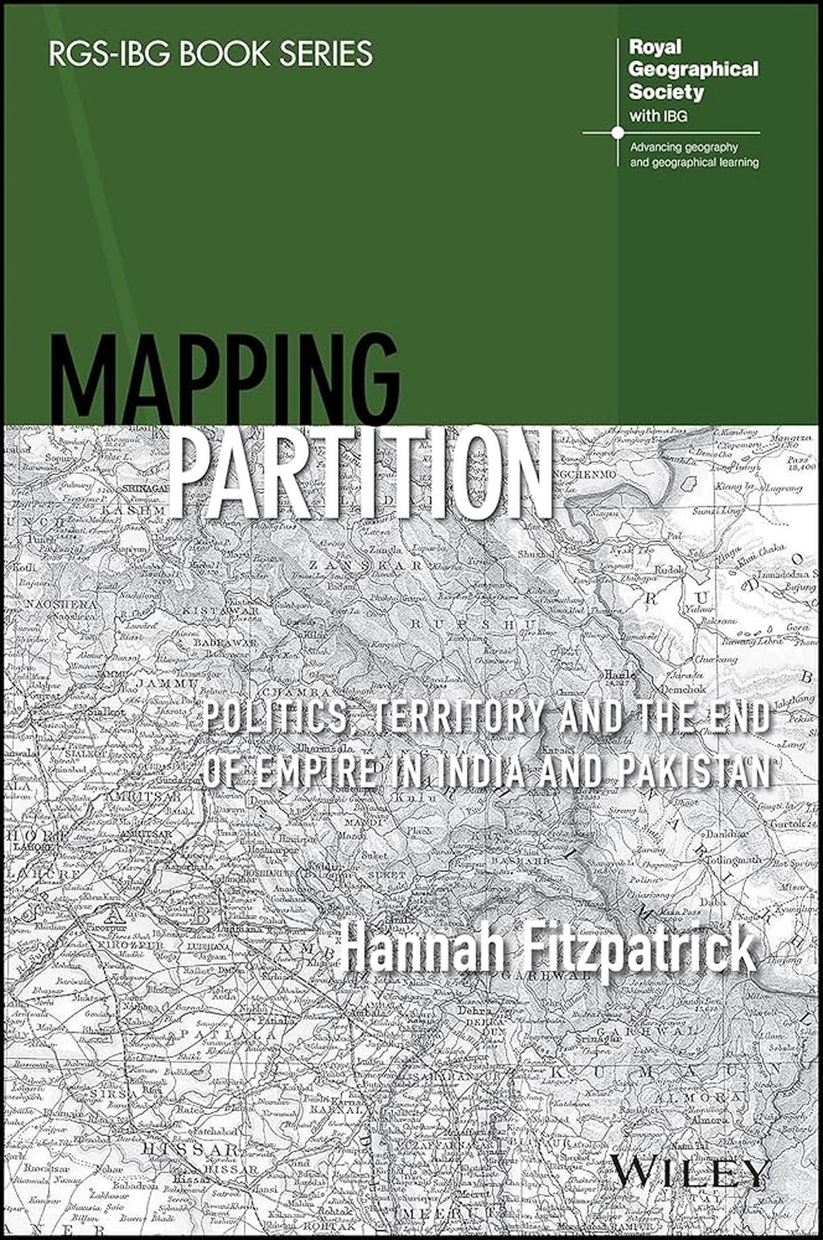
Recent scholarship, particularly Hannah Fitzpatrick’s Mapping Partition: Politics, Territory and the End of Empire in India and Pakistan, argues that the partition was not a failure of information, but a failure of the nature of information. Fitzpatrick posits that the colonial archive—comprising census figures, gazetteers, and ethnological reports—was never intended to facilitate the birth of two nations. Instead, this geographical knowledge was a tool of colonial control, designed to categorize and rule a "static" population, making it wholly inadequate for the dynamic, violent upheaval of 1947.
Chronology: From Colonial Control to Cartographic Crisis
The timeline of the Partition’s mapping reveals a process that was both rushed and structurally flawed:
1. The Pre-War Archive (1800s – 1939)
For over a century, the Survey of India meticulously mapped the subcontinent. However, these maps were designed for revenue collection and military movement, not for ethnic or religious demarcation. The colonial state viewed geography through the lens of "fixed" boundaries, ignoring the fluid nature of migration and the overlapping identities of the frontier regions.
2. The Second World War Restriction (1939 – 1945)
Crucially, during World War II, access to official Survey of India maps was strictly classified for security reasons. This meant that by 1947, when the Boundary Commissions began their work, the most accurate and up-to-date topographical data was largely inaccessible to the various political delegations.
3. The Radcliffe Mandate (June – August 1947)
Sir Cyril Radcliffe, a British lawyer who had never been to India and had no background in cartography, arrived in June 1947. He was given just five weeks to draw the borders for both Punjab and Bengal. Working in extreme heat and under immense political pressure, Radcliffe had to rely on outdated maps and conflicting data provided by the Congress and the Muslim League.
4. The "Patchwork" Award (August 17, 1947)
The Boundary Award was not published until two days after independence. This delay created a vacuum of authority, leading to widespread panic and violence as millions of people realized they were on the "wrong" side of a line they had not yet seen.
Supporting Data: Contiguity vs. Reality
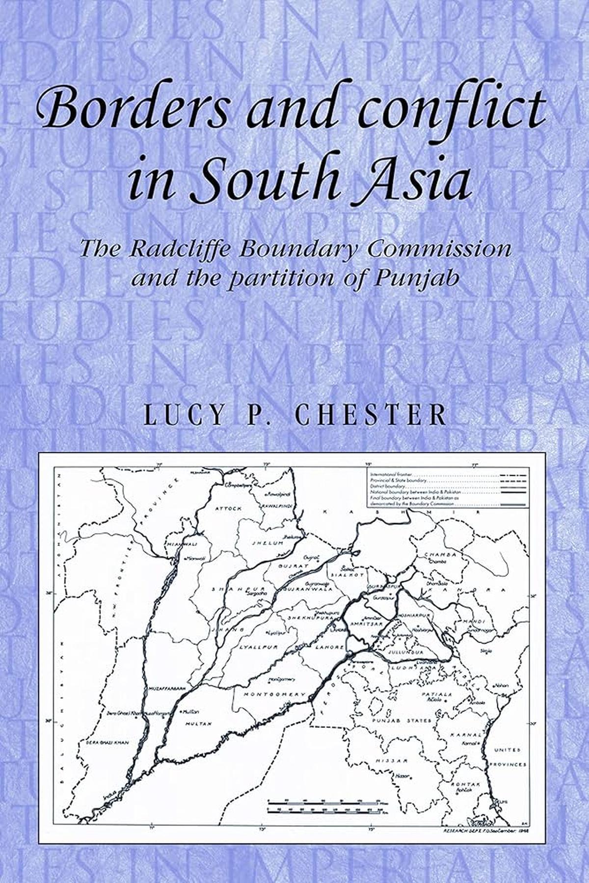
The Boundary Commission’s terms of reference required them to demarcate boundaries based on "ascertaining the contiguous majority areas of Muslims and non-Muslims." However, as Lucy Chester notes in Borders and Conflict in South Asia, this mandate was inherently contradictory.
The Problem of "Other Factors"
The Commission was also instructed to take into account "other factors." This vague phrase became a flashpoint for conflict. What were these factors?
- Economic Infrastructure: Should a Muslim-majority district be given to India because its canal headworks (essential for irrigation) were in an Indian-majority area?
- Railways and Roads: How could a border be drawn through a railway line that served both communities?
- Religious Sites: How should sacred spaces, like the birthplace of Guru Nanak in Nankana Sahib, be weighed against demographic majorities?
Because "other factors" were never clearly defined, the various delegations interpreted them to suit their political ends. The Congress emphasized economic contiguity, while the Muslim League prioritized demographic clusters.
The Conflict of Contiguity
In Punjab, the Commission faced a mathematical impossibility. While certain districts had clear majorities, many others were a mosaic of villages. To achieve "territorial contiguity," the Commission often had to include large minority pockets within the "wrong" state. The alternative—creating enclaves or corridors—was rejected by the British as being administratively "unworkable." This decision directly necessitated the massive population transfers that resulted in the deaths of up to two million people.
Official Responses: A Legacy of Discontent
The announcement of the Radcliffe Award was met with immediate and bilateral condemnation. Neither the Indian National Congress nor the Muslim League felt the Commission had respected the "right" factors.
- The Muslim League Response: Jinnah famously described the award as "territorially truncated" and "mutilated." The League was particularly aggrieved by the loss of Gurdaspur and parts of the Kashmir-adjacent districts, which they believed were essential for the strategic and economic viability of Pakistan.
- The Congress Response: Leaders in Delhi lamented the loss of Lahore and the rich agricultural lands of West Punjab, arguing that the Commission had ignored the "economic contribution" of the Hindu and Sikh communities in those regions.
- The British Stance: The British government, eager to exit India before the brewing civil war escalated further, maintained that the award was an impartial, legalistic solution. Radcliffe himself was so horrified by the consequences of his work that he refused his fee of £2,000 and burned his papers upon returning to England.
Implications: The Long Partition and Shifting Landscapes
The most profound implications of this cartographic exercise were felt in the East. In The Bengal Borderland, Willem van Schendel describes the Radcliffe Line in Bengal as a "patchwork border."
Topographical Defiance
Unlike the plains of Punjab, the geography of Bengal was defined by a massive, shifting delta. The Commission had to contend with:
- Shifting Rivers: The Ganges and Brahmaputra river systems frequently change course. A border defined by a riverbank in August 1947 might be miles away by the following monsoon.
- Char Lands: River islands (chars) appear and disappear, leading to decades of "land wars" between border guards and farmers.
- The Sundarbans: The vast mangrove forests and tidal islands of the south made physical demarcation nearly impossible, creating a "grey zone" where the state’s authority remained ephemeral for decades.
From Paper to Ground
Van Schendel argues that the demarcation was less a matter of geographical expertise and more a problem for local bureaucracies. For decades after 1947, local officials had to negotiate where the line actually fell. This led to the creation of the Chitmahals (enclaves)—162 patches of land that were technically part of one country but surrounded by the territory of the other. These enclaves were only resolved in 2015, nearly 70 years after Partition.
The Human Cost of Territorial Engineering
The ultimate implication of the 1947 mapping was the transformation of people into "majorities" and "minorities" overnight. By choosing a specific "vision of space" over the lived reality of the inhabitants, the Boundary Commissions turned geography into a weapon.
The scholarship of Fitzpatrick, Chester, and van Schendel collectively suggests that the tragedy of Partition was not just political—it was an attempt to force a complex, fluid, and multi-layered geographical reality into a rigid, two-dimensional European model of the nation-state. As Oskar Spate’s journals warned, the map could never truly reflect the land, and the attempt to make it do so would leave scars that a century of history has yet to heal.
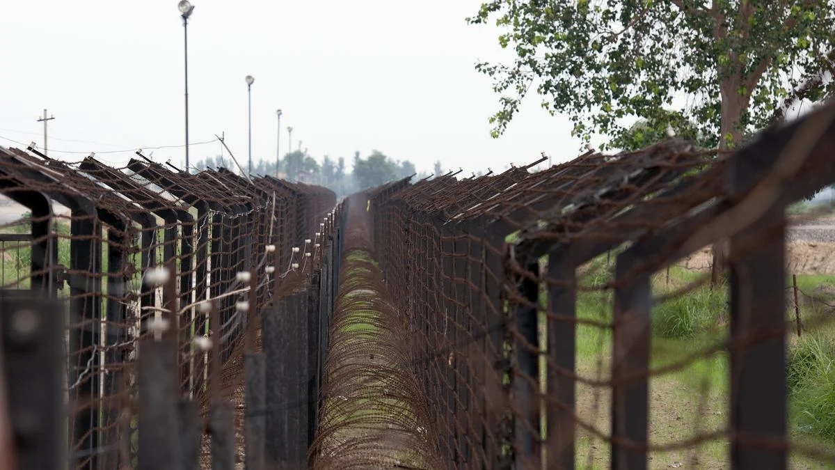
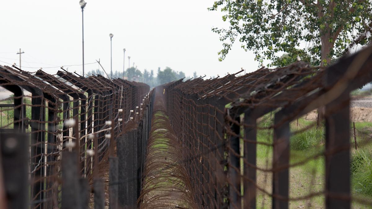
Today, the "Radcliffe Line" remains one of the most militarized and contested borders in the world. It stands as a testament to a time when geography was ignored in favor of political expediency, and when the stroke of a pen on a map decided the fate of millions.
