

BENGALURU — Bengaluru, the city celebrated globally as India’s technological powerhouse, is currently grappling with a profound environmental contradiction that threatens its long-term viability. While seasonal monsoons increasingly paralyze the city with flash floods, its subterranean water reserves are plummeting to record lows. A landmark study, conducted by a multi-institutional team including the Central Ground Water Board, the Ministry of Jal Shakti, and Western Sydney University, has finally decoded the mechanics behind this crisis.
The research identifies a critical "one-to-two-month window" required for rainwater to migrate from the surface to deep aquifers—a natural process that has been systematically dismantled by decades of unplanned urban expansion. As the city’s "built-up" area skyrocketed from 42% to 86% in just twenty years, the biological and geological "sponges" that once sustained the region have been replaced by an impervious concrete shroud.
The Core Findings: The Science of the "Sip"
At the heart of the study is a concept known as "recharge latency." Using a statistical technique called lag correlation analysis, researchers analyzed 27 years of hydrological data to determine how long it takes for a raindrop hitting the ground to actually replenish a well. They discovered that Bengaluru’s geology requires a period of four to eight weeks for water to percolate through the soil and rock layers into the groundwater table.
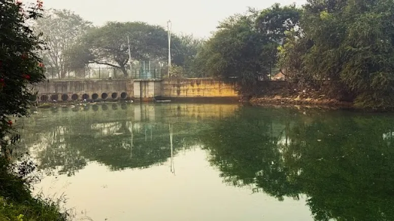
Historically, this window was managed by an intricate, interconnected network of man-made lakes and wetlands, constructed centuries ago by the city’s founders. These water bodies acted as slowing mechanisms, holding runoff and allowing it to "sip" into the earth over that crucial two-month period. Today, however, that window has been slammed shut. When heavy rains strike, the water has nowhere to go but onto the asphalt. It stays on the surface, creating "urban rivers" that cause chaos, only to eventually evaporate or be funneled into polluted drains, leaving the aquifers beneath the city parched.

A Chronology of Transformation: From Garden City to Concrete Jungle
To understand the current crisis, one must look at the meteoric and often unregulated rise of Bengaluru over the last quarter-century. In the 1990s, Bengaluru was still known as the "Garden City," characterized by a temperate climate and a robust system of "keres" (tanks/lakes).
- The 1990s: The city began its transition into a global IT hub. During this period, the built-up area was roughly 42%. Green cover was high, and the lake systems, though aging, were largely intact.
- The Early 2000s: Rapid industrialization led to the first major encroachments. As the population surged, the demand for housing saw the conversion of peripheral wetlands into residential layouts.
- 2010–2020: The "Great Acceleration." The study notes that the built-up area surged toward 86%. During this decade, the city lost nearly 70% of its historical lakes. The connectivity between these lakes—vital for flood overflow—was severed by roads and high-rise developments.
- 2022–Present: The consequences reached a breaking point. In 2022, Bengaluru made international headlines as luxury villas and tech parks were submerged under several feet of water. Ironically, during the same year, residents in these flooded areas had to rely on expensive private water tankers because their borewells had run dry.
Supporting Data: The Economic and Environmental Toll
The data presented by the researchers paints a grim picture of the efficiency of the current urban design. According to the study, the shift to impervious surfaces—roads, rooftops, and paved parking lots—has created a waterproof shield over the city.
- Economic Loss: The 2022 floods alone resulted in an estimated ₹225 crore (approximately $27 million) in direct economic losses. This includes damage to infrastructure, loss of productivity in the tech sector, and vehicle destruction.
- Lake Depletion: Of the hundreds of lakes that once dotted the landscape, only a fraction remain functional. Most have been filled with silt, encroached upon by developers, or converted into "stadiums" and "bus stands" by the government itself.
- Groundwater Depth: In many parts of the city, particularly the eastern IT corridors like Whitefield and Sarjapur, the water table has dropped from 200 feet to over 1,000–1,500 feet in less than two decades.
- The Runoff Coefficient: In a natural landscape, roughly 50% of rainwater might soak into the ground. In modern Bengaluru, that figure has plummeted, with nearly 90% of rainfall turning into immediate surface runoff.
The INSPECT Framework: Identifying Systemic Failure
The researchers utilized a multidimensional tool called the INSPECT framework to diagnose why previous attempts to fix the city have failed. This framework analyzes the problem through seven distinct lenses:
1. Institutional and Political Silos
The most significant bottleneck identified is the lack of coordination between government agencies. The Bruhat Bengaluru Mahanagara Palike (BBMP) is responsible for the city’s stormwater drains, while the Bengaluru Water Supply and Sewerage Board (BWSSB) manages water pipes and sewage. These agencies rarely share data. When the BBMP clears a drain, they may not coordinate with the BWSSB’s sewage overflow issues, leading to a "policy silo" where no single entity is responsible for the entire water cycle.

2. Natural and Technological
The natural drainage topography of the city has been ignored. Technologically, the city relies on "grey infrastructure"—concrete pipes and drains—which are designed to move water away as fast as possible. The study argues for "green infrastructure" that mimics nature.
3. Social and Cultural
There has been a tragic cultural shift in how citizens view water. Historically, the community-owned "keres" were sacred. Today, water is viewed as a utility provided by the state or purchased from a tanker. This loss of "water stewardship" has allowed the encroachment of lakes to happen with minimal public resistance until it was too late.
Official Responses and Proposed Roadmaps
While the study is an academic exercise, it serves as a stern warning to policymakers. The research team has proposed a phased roadmap to transition Bengaluru into a "Sponge City."
Integrated Urban Water Management Authority (IUWMA):
The primary recommendation is the creation of a single, overarching authority that holds the power to manage drains, lakes, and groundwater simultaneously. This would break down the "data silos" and allow for real-time monitoring of the water cycle.

Water-Sensitive Urban Design (WSUD):
The study calls for immediate changes to building codes. This includes:
- Permeable Pavements: Mandating that parking lots and sidewalks use materials that allow water to seep through.
- Rain Gardens: Implementing bio-retention areas in public parks to capture and hold runoff.
- Mandatory Recharging: Moving beyond basic rainwater harvesting (RWH) to "active injection" of treated rainwater into deeper aquifers.
The Jakkur Lake Model:
The researchers point to Jakkur Lake in North Bengaluru as a rare success story. Through a combination of community participation and clever engineering—using treated wastewater to maintain lake levels and natural wetlands to filter that water—the Jakkur model has successfully recharged the local water table. Borewells in the vicinity of Jakkur remain functional even during droughts, providing a scalable blueprint for the rest of the city.
Implications: A Warning for the Global South
The crisis in Bengaluru is not an isolated incident; it is a preview of the future for many rapidly growing cities across the Global South. From Nairobi to Dhaka and Jakarta, the pattern of "pave first, plan later" is creating a generation of cities that are simultaneously thirsty and drowning.
The Bengaluru study proves that climate change—often blamed for "erratic weather"—is only half the story. The other half is the loss of "water sensitivity" in urban planning. If cities continue to ignore the one-to-two-month window that nature requires to replenish itself, they will continue to face astronomical economic losses and existential threats to their water security.

As the study concludes, the survival of the modern city depends on its ability to stop treating rainwater as a waste product to be drained away and start treating it as the lifeblood of the urban ecosystem. By reopening the "recharge window," Bengaluru can transform its seasonal floods from a destructive force into its most valuable resource.
Data Summary for Context:
- Built-up area increase: 42% (2000) to 86% (2024).
- Lake loss: ~70% of historical water bodies.
- Critical Recharge Window: 1 to 2 months.
- 2022 Flood Loss: ₹225 Crore.
- Key Framework: INSPECT (Institutional, Natural, Social, Political, Economic, Cultural, Technological).
