Executive Summary
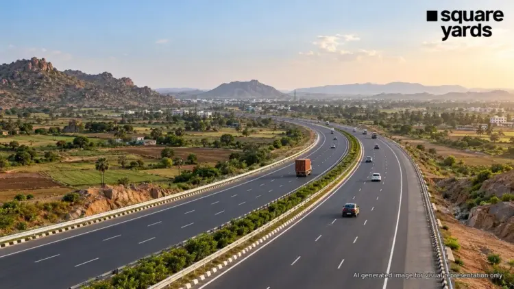
The Bengaluru–Vijayawada Expressway, officially designated as a vital component of the NH-544G project, represents one of India’s most ambitious infrastructure undertakings in the southern peninsula. Spanning a total of 343 kilometers in its greenfield section, the expressway is designed to fundamentally alter the logistics landscape between Karnataka and Andhra Pradesh. By bypassing traditional bottlenecks and reducing the travel distance by approximately 110 kilometers, the project is poised to shave three to four hours off current travel times. As of late 2026, the project has reached significant engineering milestones, including a critical tunnel breakthrough, signaling a steady march toward its projected 2027 completion. This report provides an in-depth analysis of the project’s progress, technical specifications, regional impact, and its role as a catalyst for industrial and residential growth.
1. Main Facts: Defining the NH-544G Corridor
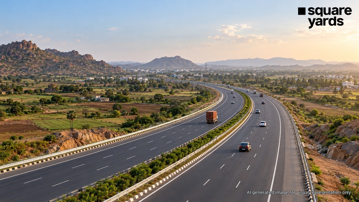
The Bengaluru–Vijayawada Expressway is not merely a road; it is the backbone of the Bengaluru–Kadapa–Vijayawada Economic Corridor. Unlike traditional highway expansions, this project focuses on a "greenfield" alignment for its primary stretch, meaning it is being constructed on entirely new land to ensure a straight, high-speed, and access-controlled environment.
Project Overview
- Total Project Length: Approximately 343 km (Greenfield section).
- Total Corridor Connection: Connects the tech hub of Bengaluru to the commercial center of Vijayawada through a mix of new construction and upgrades to existing sections of NH-44 and NH-16.
- Lane Configuration: Six-lane, access-controlled highway.
- Key Termini: The greenfield section begins near Kodikonda (at the Karnataka-Andhra Pradesh border) and concludes at Muppavaram near Addanki in Andhra Pradesh.
- Estimated Travel Time Reduction: From the current 12 hours to approximately 8–9 hours.
- Distance Reduction: 110 kilometers saved compared to existing routes.
Engineering Feats
A standout feature of the project is the inclusion of advanced engineering structures designed to traverse the rugged terrain of the Eastern Ghats. In September 2026, the National Highways Authority of India (NHAI) celebrated a major breakthrough in the excavation of a 3.68-km tunnel. This tunnel is essential for maintaining the expressway’s "high-speed" status, allowing vehicles to bypass steep gradients and winding mountain passes that typically slow down freight traffic.
2. Project Chronology: From Conception to 2026 Breakthrough
The timeline of the Bengaluru–Vijayawada Expressway reflects the complexities of large-scale land acquisition and multi-state coordination.
- 2021–2022: Planning and Approval: The project was conceptualized under the Bharatmala Pariyojana Phase-II. The objective was to create a direct link between the capital regions of the two states, bypassing the congested older highways.
- 2023: Tendering and Contract Awarding: NHAI divided the 343-km stretch into multiple packages to expedite construction. Major infrastructure firms were onboarded to handle different segments simultaneously.
- 2024–2025: Land Acquisition and Early Construction: Significant focus was placed on acquiring over 5,000 acres of land. Construction began in earnest on the plains of Andhra Pradesh and the hilly terrains of the Rayalaseema region.
- September 2026: The Tunnel Breakthrough: A pivotal moment occurred when the 3.68-km tunnel excavation was completed. This milestone removed one of the most significant technical hurdles in the project’s path.
- October 2026 (Current Status): The project is in an advanced stage of paving and bridge construction. Authorities are focused on finishing interchanges and tolling infrastructure.
- 2027 (Target): Expected date for the expressway to be fully operational for public and commercial traffic.
- October 2028 (Industrial Integration): The full realization of the connected Kopparthy Industrial Area infrastructure is expected by late 2028, aligning with the expressway’s operational maturity.
3. Supporting Data: Economic and Technical Specifications
The viability of the NH-544G project is supported by substantial investment figures and projected economic returns. The corridor is designed to handle high-density cargo movement, which is currently hampered by the limitations of existing dual-lane highways.
Financial and Industrial Metrics
The expressway is inextricably linked to the Kopparthy Industrial Area near Kadapa, which serves as a primary economic engine for the region.
| Category | Details/Figures |
|---|---|
| Kopparthy Industrial Area Size | 2,596 Acres |
| Projected Infrastructure Cost | ₹2,137 Crore |
| Investment Potential | ₹8,860 Crore |
| Employment Potential | 54,500 Jobs |
| Physical Progress (as of Aug 2026) | 5.56% (Industrial Zone specific) |
| Anticipated Cargo Increase | 25-30% in the first five years |
Connectivity Benefits
The expressway serves as a "bridge" between the Rayalaseema hinterland and the prosperous Coastal Andhra region. By passing through mandals such as Kanigiri, Addanki, Cheemakurthy, and Thallur, the road opens up previously isolated agricultural and mining belts to global markets.
4. Official Responses and Policy Framework
The NHAI and the Ministry of Statistics and Programme Implementation (MoSPI) have maintained a transparent, albeit cautious, outlook on the project.
NHAI Perspectives
NHAI officials have emphasized that the Bengaluru–Vijayawada Expressway is a "model project" for greenfield development. By utilizing a completely new alignment, the NHAI has minimized the need to demolish existing structures, though it has required extensive negotiations with agricultural landowners. In recent statements following the tunnel breakthrough, officials noted that "modernizing the freight corridor is essential for India to reach its goal of reducing logistics costs from 14% of GDP to under 10%."
MoSPI Monitoring
According to MoSPI’s August 2026 project report, while the expressway itself is moving at a brisk pace, the ancillary industrial infrastructure—specifically the Kopparthy Industrial Area—has seen slower physical progress (5.56%). This highlights a common challenge in Indian infrastructure: the "syncing" of road connectivity with industrial readiness. Government reports suggest that while the road will be ready by 2027, the full economic "bloom" of the corridor may take until 2028 or 2029.
5. Implications: Real Estate, Logistics, and Regional Transformation
The completion of the Bengaluru–Vijayawada Expressway will have far-reaching consequences for the socio-economic fabric of Southern India.
Logistics and Trade
For the logistics sector, the expressway is a game-changer. Bengaluru is a primary consumption hub and a center for electronics and textile manufacturing. Vijayawada, on the other hand, is a gateway to the ports of the eastern coast (such as Machilipatnam and Kakinada).
- Freight Efficiency: The reduction of 110 km translates to significant fuel savings for trucking fleets.
- Supply Chain Reliability: Access-controlled roads mean fewer accidents and predictable delivery windows, which are crucial for "just-in-time" manufacturing.
Real Estate and Urbanization
The impact on real estate is expected to be tiered rather than uniform.
- The "Interchange" Effect: Unlike traditional roads where any point along the highway can see development, an access-controlled expressway only allows entry and exit at specific interchanges. Consequently, real estate demand is expected to spike near these nodes—specifically in Kanigiri, Addanki, and the outskirts of Kadapa.
- Speculative vs. Sustainable Growth: While land prices in Rayalaseema have seen speculative increases since the project announcement, sustainable housing demand will only follow the actual creation of jobs. The 54,500 projected jobs at Kopparthy are the "hook" for future residential projects.
- Rental Markets: As industrial units begin operations, there will be a surge in demand for rental housing for the workforce, particularly in mid-tier towns like Kadapa, which will now be within a comfortable commuting distance of major industrial zones.
Regional Development of Rayalaseema
Historically, the Rayalaseema region has lagged behind Coastal Andhra in terms of industrialization. The NH-544G project, combined with its inclusion in the Vizag–Chennai Industrial Corridor (VCIC), represents a strategic shift. By improving access to the Kopparthy Industrial Area, the government is attempting to decentralize industry away from saturated hubs like Chennai and Bengaluru.
6. Challenges and Future Outlook
Despite the optimism surrounding the 2026 tunnel breakthrough, several hurdles remain:
- Last-Mile Connectivity: The expressway is a high-speed artery, but its success depends on the "capillaries"—the local feeder roads that connect the highway to village centers and small-scale factories.
- Environmental Maintenance: Traversing through hilly terrain requires ongoing maintenance to prevent landslides and ensure the structural integrity of the newly bored tunnels.
- Realizing Job Targets: The projected 54,500 jobs at Kopparthy are dependent on private sector investment. The expressway provides the infrastructure, but the state government must provide the incentives to ensure companies set up shop.
Conclusion
The Bengaluru–Vijayawada Expressway is more than just a convenience for travelers; it is a strategic economic intervention. As the project moves toward its 2027 completion date, the focus will shift from engineering milestones to economic realization. For investors, developers, and residents of Andhra Pradesh and Karnataka, the corridor promises a future of shorter distances, higher employment, and a more integrated regional economy. However, the true measure of its success will lie in how effectively the improved connectivity translates into tangible industrial output and improved living standards for the districts it traverses.