

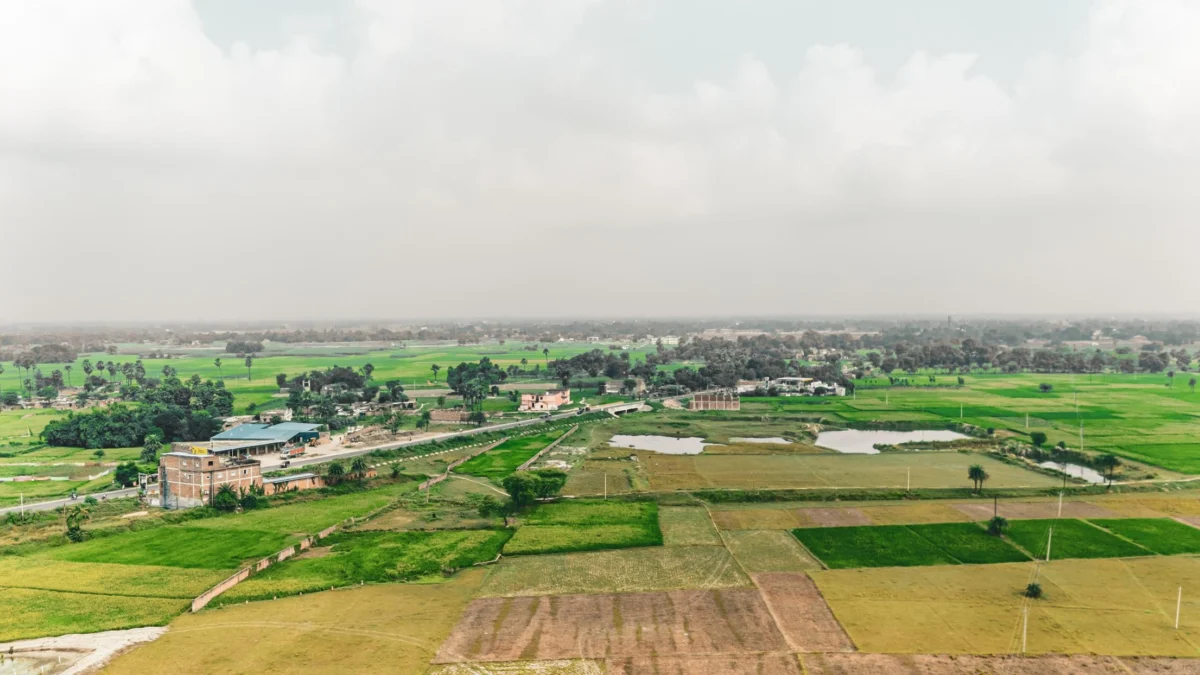
Patna, Bihar – In what is being described as one of the most ambitious administrative undertakings in the history of modern Bihar, the state government is currently executing a "Special Survey and Settlement Programme." This initiative, aimed at modernizing century-old land records and digitizing the state’s complex revenue landscape, has become the focal point for millions of landowners and the legal fraternity alike.
As of early 2026, the Bihar Land Survey has moved into a critical phase. With the state’s revenue department grappling with a backlog of property disputes—estimated to account for nearly 60-70% of all civil litigation in the state—this survey is not merely a technical exercise but a socio-economic necessity.
1. Main Facts: The Scope of the Special Survey and Settlement
The current Land Survey in Bihar is fundamentally different from routine land measurements. Formally known as the Special Survey and Settlement Programme, it is being conducted under the aegis of the Directorate of Land Records and Survey (DLRS), Department of Revenue and Land Reforms.
Key Objectives
The primary goal is to update the "Cadastral" records—many of which date back to the British era—and align them with current possession and ownership realities. The survey aims to:
- Establish Clear Ownership: Identifying the current legal heirs or purchasers of land parcels.
- Create Digital Revenue Maps: Transitioning from physical, often tattered maps to high-precision digital Bhu Nakshas.
- Update the ‘Khatiyan’: Creating a fresh Record of Rights (RoR) that reflects current ground realities.
- Dispute Mitigation: Minimizing boundary conflicts and fraudulent transactions by providing a verified, digital "single source of truth."
Survey vs. Bhu Naksha: The Distinction
It is essential to distinguish between the Land Survey and the Bhu Naksha portal. While Bhu Naksha is a digital map service providing a visual representation of land plots, the Land Survey is an exhaustive legal and physical process. It involves on-ground measurements using Electronic Total Station (ETS) machines, verification of physical possession, and the adjudication of ownership claims through a semi-judicial process.
2. Chronology: Evolution of Timelines and Deadlines
The timeline of the Bihar Land Survey has been dynamic, reflecting the logistical challenges of surveying a state with such dense population and fragmented land holdings.
- December 2024: Recognizing the scale of work, the Bihar government officially extended the statewide completion target from the initial July 2025 date to July 2026.
- March 2025: Following a high-level review of field progress, the state government announced a further five-month extension. This moved the overall completion target to December 2026.
- July 2026 (Administrative Milestone): The Revenue and Land Reforms Department issued a directive to complete pending survey procedures in specific reviewed districts by August 15, 2026.
- Note for Readers: Administrative targets like the August 15 deadline are internal benchmarks for officials to clear backlogs. The statewide completion deadline for the public remains December 2026.
- February 2026 (Digitization Extension): In a significant move to ensure the longevity of these records, the DLRS approved an extension of the land-record scanning and digitization program through March 31, 2027.
3. The Step-by-Step Mechanism: A Guide for Landowners
For property owners in Bihar, participating in the survey is not optional but essential to secure their legal title. The process is divided into several rigorous stages:
Step 1: Verification of Survey Status
Landowners must first determine if the survey has commenced in their specific Mauja (village/revenue unit). This can be checked via the official DLRS portal. The portal provides a "Special Survey Report" indicating the current stage of work in every district and circle.
Step 2: Documentation and Evidence Gathering
The burden of proof regarding ownership lies with the Raiyat (landholder). Crucial documents include:
- The old Khatiyan (Record of Rights).
- Registered Sale Deeds (if the land was purchased).
- Mutation Certificates (Dakhil-Kharij).
- Up-to-date Land Tax receipts (Lagaan).
- Court decrees (in case of previously litigated property).
Step 3: Submission of Self-Declaration (Form 2)
The survey begins with the landholder submitting a self-declaration. This document outlines the area of land held, the nature of acquisition (ancestral, purchased, or gifted), and the current possession status. This is increasingly being handled through digital submissions on the DLRS website.
Step 4: The Role of Genealogy (Vanshavali)
For ancestral properties, proving the lineage is paramount. If the land is still recorded in the name of a deceased great-grandfather, the current claimants must provide a certified genealogy to show how the property devolved to them. This helps in preventing "ghost claims" and ensures that all legal heirs are recognized.
Step 5: Ground Survey and Technical Measurement
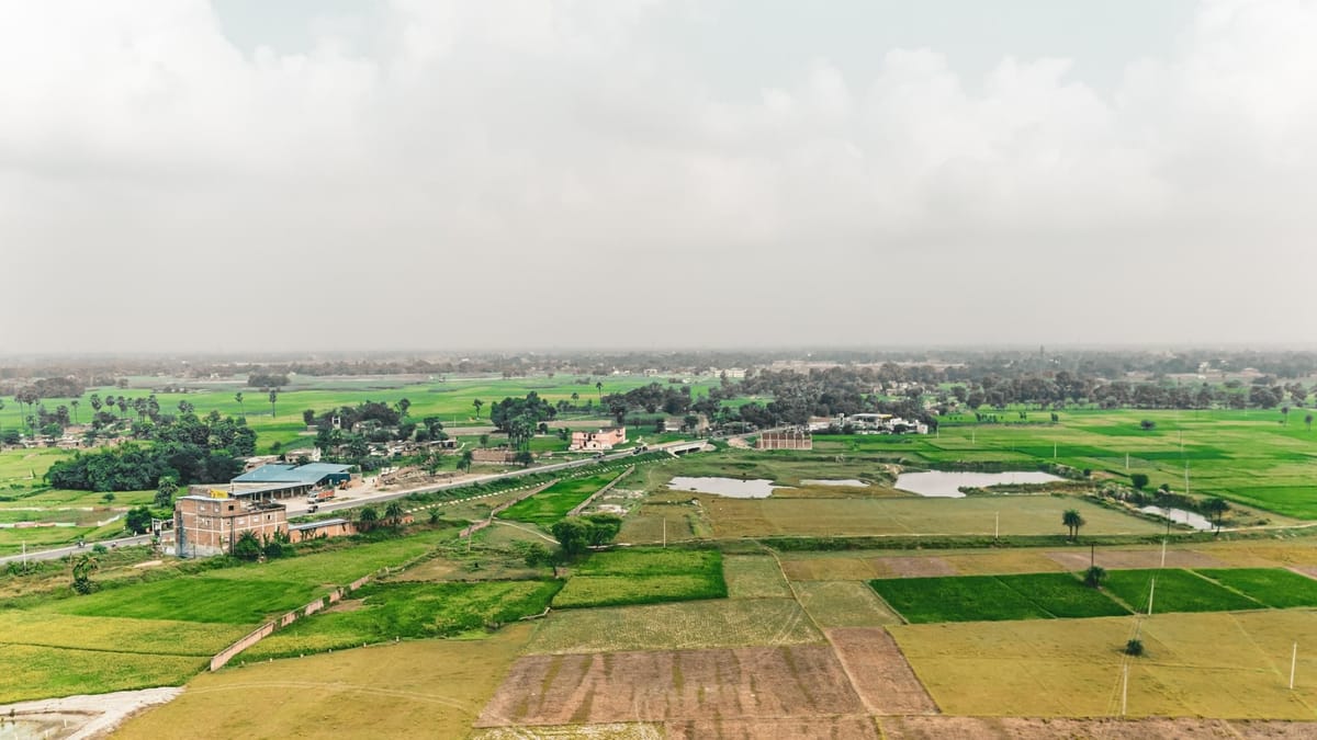
Once declarations are filed, survey teams visit the site. Unlike old methods using chains, modern surveys utilize Electronic Total Station (ETS) equipment and, in some areas, aerial photography. Officials measure boundaries and verify them against existing cadastral maps.
Step 6: The Khanapuri and Draft Publication
After the field survey, a preliminary record called the Khanapuri Parcha is prepared. This is followed by the distribution of the Land Parcel Map (LPM). These are draft documents that give the landowner a first look at how the government intends to record their property.
Step 7: Claims, Objections, and Rectification
This is the most critical window for landowners. If there is a discrepancy in the plot size, the spelling of a name, or the boundary alignment, the owner must file an objection. These objections are heard by survey officers who have the authority to correct records based on evidence.
Step 8: Final Publication
Once all disputes are settled and the draft is vetted, the final Record of Rights is published. This becomes the new legal basis for all future land transactions and revenue assessments.
4. Supporting Data: The Infrastructure of the Survey
The scale of the 2026 Bihar Land Survey is supported by massive financial and human resource allocations:
- Financial Outlay: The government has sanctioned an expenditure of approximately Rs. 1,078.87 crore for the current phase, focusing heavily on scanning and digitization.
- Workforce: A total of 16,012 positions have been sanctioned, comprising a mix of regular and contractual staff, including Special Survey Assistant Settlement Officers, Kanungos, Amin (surveyors), and Clerks.
- Technological Integration: The state is transitioning to a "Hybrid Survey Model," combining traditional ground verification with satellite imagery and GIS (Geographic Information System) mapping.
5. Official Responses and Government Strategy
The Department of Revenue and Land Reforms has maintained a proactive stance. Officials emphasize that the survey is designed to empower the common citizen.
"The objective is transparency," a senior DLRS official stated during a recent review meeting. "By digitizing every parcel of land and linking it to a verified genealogy, we are effectively ending the era of ‘land mafias’ who exploit ambiguous records. The December 2026 deadline is ambitious, but the deployment of ETS machines and the 16,000-strong workforce makes it achievable."
Furthermore, the government has integrated these records with the "Digital India Land Records Modernization Programme" (DILRMP), ensuring that Bihar’s land data is compatible with national standards.
6. Implications: Why This Matters for Bihar’s Future
The successful completion of the Land Survey 2026 will have far-reaching implications:
Reduction in Crime and Litigation
In Bihar, land disputes are the root cause of a significant percentage of violent crimes and family feuds. Clearer records will drastically reduce the burden on the police and the judiciary, allowing for faster economic development.
Ease of Doing Business
For industrial growth, clear land titles are a prerequisite. Accurate digital records will make land acquisition for infrastructure and industry more transparent and less prone to legal hurdles.
Credit Access for Farmers
With an updated Khatiyan, farmers will find it significantly easier to obtain institutional credit and crop insurance. Banks often hesitate to lend when land titles are murky or stuck in the names of deceased ancestors.
Real Estate Transparency
For urban property buyers, the survey provides a layer of security. The digital mapping of plots ensures that the property being sold actually exists on the ground with the specified dimensions.
Conclusion: A Call to Action for Landowners
The Bihar Land Survey 2026 is a generational event. While the government is providing the digital infrastructure and the personnel, the accuracy of the final records depends heavily on the participation of the landowners.
The December 2026 deadline is approaching rapidly. Property owners are advised to utilize the online DLRS portal to monitor their Mauja’s status and ensure that their self-declarations and genealogies are filed accurately. In the words of revenue experts, "A stitch in time during this survey will save decades of legal battles in the future."
As Bihar moves toward a fully digitized land revenue system by March 2027, the current survey stands as the foundation of a more transparent, secure, and prosperous state.
Disclaimer: This report is based on current government records, official announcements, and administrative timelines as of early 2026. Landowners are encouraged to verify specific details with their local Circle Office (Anchal Adhikari) or the official Bihar Land Survey website.
