

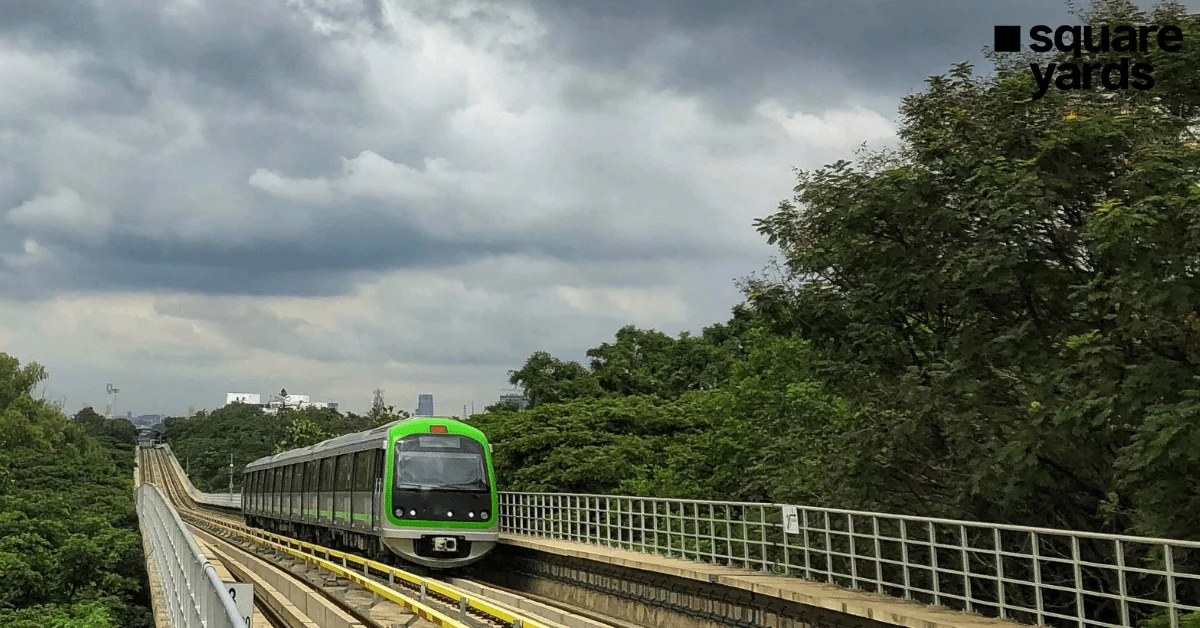
BENGALURU – In a move set to fundamentally alter the geographical and economic landscape of India’s Silicon Valley, the Karnataka government has unveiled a roadmap to expand the Namma Metro network to a staggering 500 kilometers. This ambitious infrastructure overhaul aims to transition Bengaluru from a city choked by gridlock to a globally competitive metropolis defined by seamless, high-speed connectivity.
As the city grapples with the pressures of being one of the world’s fastest-growing tech hubs, the expansion—encompassing the Pink Line, Blue Line, and the newly approved Phase 3—is not merely a transport project. It is a massive economic catalyst that is already recalibrating real estate valuations, shifting residential preferences, and inviting a new wave of commercial investment.
I. The Grand Vision: Connecting a Fragmented Metropolis
For decades, Bengaluru’s growth has outpaced its infrastructure. The "500-km Vision" is the state’s definitive answer to the city’s infamous traffic congestion. By integrating existing lines with upcoming corridors, the government intends to bring a metro station within a 1-to-2-kilometer radius of most citizens.
The plan moves beyond the traditional "Cross" (Purple and Green lines) to a "Web" structure. This includes:
- The Pink Line: A critical North-South corridor.
- The Blue Line: A massive artery connecting the technology hubs of the Outer Ring Road (ORR) to the Kempegowda International Airport (KIA).
- Phase 3: A western arc and a suburban link designed to decongest the city’s traditional boundaries.
This expansion is being designed in tandem with other multi-modal projects, including the Bengaluru Suburban Rail Project (BSRP), peripheral ring roads, and innovative "double-decker" flyovers where metro tracks run above road levels.
II. Chronology of Progress: From Phase 1 to the 500-km Goal
The journey of Namma Metro has been one of gradual acceleration. To understand the future, one must look at the timeline of development:
- Phase 1 (Completion): Established the primary East-West (Purple) and North-South (Green) corridors, totaling roughly 42 km.
- Phase 2 (Ongoing): Extensions of the existing lines and the introduction of the Yellow Line (Electronic City) and the Pink Line.
- Phase 2A & 2B (Under Construction): The "Blue Line" project, specifically targeting the IT corridors and airport connectivity.
- Phase 3 (Approved 2024): A 44.65 km expansion recently greenlit by the Union Cabinet, focusing on the western periphery and the inner ring.
- Future Corridors (Proposed): The roadmap to reach 500 km involves Phase 3A, 3B, and feasibility studies for feeder lines into satellite towns like Hoskote, Bidadi, and Nelamangala.
III. The Pink Line: Bridging the Accessibility Gap
The Pink Line (Kalena Agrahara to Nagawara) is perhaps the most anticipated residential lifeline. Stretching 21.25 km, it creates a second North-South axis, slicing through some of the city’s most densely populated and commercially vibrant zones.
Strategic Significance
The line features a 13.76 km underground section—the longest in the city’s history—navigating through the heritage and high-density zones of Shivajinagar and Cantonment. By connecting the southern residential heartlands (Bannerghatta Road) to the northern IT hubs (Nagawara), it eliminates the need for commuters to traverse the congested Central Business District (CBD) by road.
Real Estate Impact
Localities like Kalena Agrahara and Hulimavu are evolving from "peripheral" neighborhoods into "prime" residential hubs. In the north, Thanisandra and HBR Layout are seeing a surge in high-rise apartment complexes as developers anticipate a shift in the workforce from the CBD to these more accessible northern pockets.
IV. The Blue Line: The Airport Link and the "Tech-Artery"
If the Pink Line is the residential lifeline, the Blue Line (58 km) is the city’s economic engine. Connecting Central Silk Board to the Airport via KR Puram and Hebbal, it services the "IT Back Bone" of Bengaluru.
Impact on North Bengaluru
North Bengaluru is the primary beneficiary of the Blue Line. Areas such as Hebbal, Yelahanka, and Devanahalli are no longer seen as distant outposts. The promise of reaching the airport from the city center in under 45 minutes is driving a "Gold Rush" in Devanahalli, where land prices have seen exponential growth.
Commercial Real Estate
The Blue Line will serve the Outer Ring Road (ORR), which houses nearly 30-35% of the city’s Grade-A office space. Improved connectivity is expected to reduce office vacancy rates and allow companies to tap into a wider talent pool residing in South and East Bengaluru.
V. Phase 3: Unlocking the West
The recently approved Phase 3 (44.65 km) is a game-changer for the western corridors.
- Corridor 1: JP Nagar 4th Phase to Hebbal (32.15 km).
- Corridor 2: Hosahalli to Kadabagere (12.50 km) along Magadi Road.
A standout feature of Phase 3 is the Double-Decker Corridor. Between JP Nagar and Hebbal, the BMRCL plans to build an integrated structure where the metro runs on the top tier and a road flyover sits below. This maximizes the utility of limited road width in areas like Mysore Road and Magadi Road.
VI. Supporting Data: Real Estate Price Insights
Data provided by Square Yards Research highlights the current market valuation across these upcoming corridors. These figures represent a baseline that experts believe will appreciate by 15-25% upon the commissioning of the respective lines.
Table 1: Pink Line Corridor (Southern & Central Impact)
| Locality | Average Price (per sq. ft.) |
|---|---|
| Kalena Agrahara | Rs 9,000 – 14,300 |
| Hulimavu | Rs 8,000 – 12,800 |
| Bannerghatta Road | Rs 6,000 – 12,800 |
| JP Nagar | Rs 6,000 – 28,000 |
| Wilson Garden | Rs 10,600 – 33,000 |
| Richmond Town | Rs 10,000 – 29,400 |
Table 2: Blue Line Corridor (The IT & Airport Belt)
| Locality | Average Price (per sq. ft.) |
|---|---|
| Bellandur | Rs 11,000 – 19,000 |
| KR Puram | Rs 8,500 – 18,000 |
| Whitefield | Rs 9,500 – 18,000 |
| Hebbal | Rs 9,000 – 21,000 |
| Nagavara | Rs 8,300 – 20,000 |
| Jakkur | Rs 7,900 – 20,000 |
| Devanahalli | Rs 8,000 – 12,000 |
Table 3: Phase 3 (Western & Northern Expansion)
| Locality | Average Price (per sq. ft.) |
|---|---|
| Mysore Road | Rs 6,000 – 13,000 |
| Magadi Road | Rs 8,000 – 15,000 |
| Kengeri Satellite Town | Rs 7,500 – 10,000 |
| Sahakara Nagar | Rs 6,200 – 12,000 |
VII. Expert Analysis and Official Responses
Industry veterans view the 500-km expansion as the "re-stitching" of Bengaluru’s urban fabric.
Sunil Pareek, Executive Director at Assetz, emphasizes that the network will bridge the accessibility gap that has long hindered the city’s peripheral markets.
"A fully functional, extensive metro network will catalyze price surges and drive high-quality developments across peripheral micro-markets," Pareek notes.
He further adds, "For developers, this evolution opens opportunities for large-scale suburban townships in all directions of the city, transit-oriented mixed-use developments, and high-density vertical projects along high-capacity transit corridors."
Urban planners also highlight that the government’s focus is shifting toward Transit-Oriented Development (TOD). This policy allows for higher Floor Area Ratio (FAR) near metro stations, encouraging developers to build taller, denser, and more walkable communities. This shift is expected to increase rental yields significantly in areas within 500 meters of a station.
VIII. Broader Implications: The Future of Living in Bengaluru
The implications of a 500-km metro network extend far beyond property prices.
- Decentralization of the CBD: As connectivity improves, the pressure on the MG Road-Koramangala belt will ease. Satellite hubs in Hebbal, Kanakapura Road, and Magadi Road will emerge as self-sustaining ecosystems.
- Environmental Impact: A robust metro system is estimated to take lakhs of private vehicles off the road daily, significantly reducing the city’s carbon footprint and improving air quality.
- Rental Yield Recalibration: Historically, rental yields in Bengaluru have hovered around 3-4%. With the metro, "commute-driven" yields are expected to rise as young professionals prioritize proximity to transit over proximity to the city center.
- Logistics and Warehousing: Future phases targeting the city’s industrial outskirts (like Peenya and Hoskote) will facilitate easier movement for the workforce, bolstering Bengaluru’s manufacturing sector.
Conclusion
The proposed 500-km Namma Metro expansion is more than a transport upgrade; it is a blueprint for Bengaluru 2.0. While the Pink and Blue lines provide immediate relief to the city’s most congested corridors, Phase 3 and beyond will lay the groundwork for a more equitable, accessible, and sustainable urban future. For investors and homebuyers, the map of the metro is now the most reliable map for the city’s future prosperity.
