

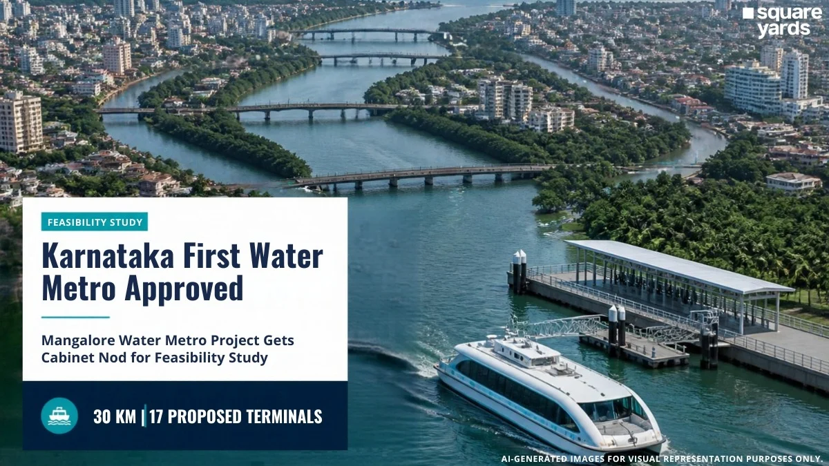
MANGALURU — In a landmark move for the state’s urban infrastructure, the Karnataka State Cabinet has officially approved the technical and financial feasibility study for the Mangalore Water Metro Project. This ambitious initiative, envisioned as Karnataka’s first water-based public transit system, marks a strategic pivot toward sustainable, river-based mobility in the coastal city of Mangaluru.
The project aims to utilize the vast, under-leveraged potential of the Nethravati and Gurupura rivers to alleviate the city’s burgeoning road congestion. By introducing a fleet of sophisticated electric ferries across a 30-kilometer network, the state government intends to modernize the coastal transport landscape, drawing inspiration from the successful Kochi Water Metro model in Kerala.
I. Main Facts: The Blueprint for a Blue Revolution
The Mangalore Water Metro is not merely a ferry service but a comprehensive urban transit solution designed to integrate seamlessly with the city’s existing infrastructure. The Cabinet’s recent approval sets the stage for the Karnataka Water Transport Board to conduct an exhaustive analysis of the project’s viability.
Key Project Highlights:
- Total Network Length: Approximately 30 kilometers in the first phase.
- Waterways Involved: The Nethravati River and the Gurupura River.
- Proposed Terminals: 17 modern jetties/terminals strategically located at residential and commercial hubs.
- Technology: Battery-powered, eco-friendly electric ferries.
- Primary Corridor: Extending from Bajal to the Maravoor Bridge.
- Lead Agency: Karnataka Water Transport Board, under the guidance of the Karnataka Maritime Board.
The project is currently in its "Planning and Feasibility" stage. This means that while the concept has received political and administrative backing, the physical construction will only commence after the feasibility study confirms the engineering practicality, environmental safety, and financial sustainability of the proposed routes.
II. Chronology: From Concept to Cabinet Approval
The journey toward the Mangalore Water Metro has been several years in the making, rooted in the state’s desire to enhance its "Blue Economy."
1. The Genesis of the Idea (2022-2023)
The Karnataka Maritime Board (KMB) first identified Mangaluru as a prime candidate for a water metro due to its unique geography. Flanked by rivers on multiple sides, the city has historically relied on traditional, unorganized boat services. The KMB proposed a modernized, high-frequency system to replace these aging methods.
2. The Kochi Benchmark (Early 2024)
A high-level delegation of Karnataka state officials visited Kochi, Kerala, to study India’s first Water Metro. The visit focused on understanding the operational challenges of electric ferries, the construction of "floating" jetties, and the integration of ticketing systems with land-based transport.
3. Formal Proposal Submission (Mid-2024)
Following the Kochi visit, a formal proposal was drafted by the Karnataka Water Transport Board. The proposal outlined a 30 km network and emphasized the use of Public-Private Partnership (PPP) models for long-term sustainability.
4. Cabinet Approval (September 2026)
In a significant cabinet meeting held specifically in Mangaluru to address coastal development, the state government officially cleared the feasibility study. This approval provides the necessary budget for technical consultants to begin field surveys and environmental impact assessments.
III. Supporting Data: Navigating the 30-Kilometer Corridor
The feasibility study will focus on the logistical backbone of the project: the 30-kilometer stretch between Bajal and Maravoor Bridge. This corridor is critical because it connects some of Mangaluru’s most densely populated and economically vital areas.
The River Network and Route Alignment
Mangaluru’s geography is dominated by the confluence of the Nethravati and Gurupura rivers before they join the Arabian Sea.
- The Nethravati Segment: This route will cater to the southern and eastern parts of the city, focusing on residential clusters and the outskirts that currently face long commutes via the Pumpwell and Thokkottu junctions.
- The Gurupura Segment: This route is expected to serve the northern industrial and port sectors, including the New Mangalore Port (NMPT), the industrial zones of Baikampady, and tourist hotspots like Sultan Battery and Tannirbhavi.
Proposed Terminal Infrastructure
The 17 proposed terminals are envisioned as "Smart Jetties." Unlike traditional boat landings, these will feature:
- Automated Docking Systems: To ensure safety and speed during passenger boarding.
- Intermodal Integration: Strategically located near bus stops and auto-rickshaw stands to ensure "last-mile connectivity."
- Sustainability Features: Solar panels on terminal roofs to power lighting and charging stations for the electric boats.
Passenger Demand and Traffic Relief
Data from the Karnataka Maritime Board suggests that thousands of daily commuters currently cross bridges like the Ullal Bridge or the Kulur Bridge. During peak hours, these bottlenecks add 30–45 minutes to a standard commute. The Water Metro aims to reduce this travel time by nearly 50% for those traveling between waterfront neighborhoods.
IV. Official Responses: The Government’s Vision
The approval has been met with optimism from state leadership, who view the Water Metro as a centerpiece of the "Nava Karnataka" (New Karnataka) infrastructure plan.
Statement from the State Cabinet:
"The Mangalore Water Metro is a transformative project. Our goal is to provide a world-class, pollution-free transport system for the people of coastal Karnataka. This is not just about transport; it is about reclaiming our waterways and boosting the local economy through improved connectivity."
The Karnataka Water Transport Board’s Perspective:
Officials from the board emphasized that the feasibility study would be "unbiased and data-driven." They noted, "We are looking at the technicalities of river depth, tidal movements, and the specific energy requirements for electric vessels in saline water conditions. The study will also explore the Public-Private Partnership (PPP) model to ensure that the project is not a burden on the state exchequer but a self-sustaining utility."
Environmental Experts’ View:
While generally supportive, environmentalists have urged the government to ensure that the dredging required for the ferry channels does not disturb the sensitive estuarine ecosystems. The government has responded by stating that the feasibility study will include a comprehensive Environmental Management Plan (EMP).
V. Implications: Beyond Public Transportation
The successful implementation of the Mangalore Water Metro will have far-reaching consequences for the region, extending well beyond simple commuting.
1. Environmental Sustainability
By utilizing electric ferries, the project will significantly reduce the carbon footprint of the city’s transport sector. It aligns with India’s "Green Hydrogen Mission" and "Maritime India Vision 2030," which promote zero-emission propulsion in inland waterways.
2. Boosting the Tourism Economy
Mangaluru is a gateway to the Western Ghats and the coastal temple circuit. A modern Water Metro would allow tourists to travel from the city center to beaches like Tannirbhavi or historical sites like Sultan Battery in a scenic, comfortable manner. This is expected to spur the development of riverfront cafes, hotels, and recreational zones.
3. Real Estate and Urban Growth
Historically, urban growth follows transport corridors. The establishment of 17 terminals will likely lead to a surge in real estate value in previously overlooked waterfront areas. This "Transit-Oriented Development" (TOD) could revitalize the riverfronts of Bajal, Hoige Bazar, and Boloor.
4. Decongestion of Road Arteries
The primary roads leading to the New Mangalore Port and the Mangalore International Airport are often clogged with heavy vehicle traffic. By shifting a portion of the passenger load to the rivers, the state can extend the lifespan of existing road infrastructure and reduce the frequency of accidents on busy city stretches.
5. A Blueprint for Other Coastal Cities
If Mangaluru’s project proves successful, it will serve as a pilot for other coastal towns in Karnataka, such as Karwar and Udupi. The state government is keen to create a "Coastal Water Highway" that could eventually facilitate cargo and passenger movement across the entire 320-km coastline of Karnataka.
VI. What’s Next: The Road to the DPR
The immediate next step is the commissioning of the technical and financial feasibility report. This process is expected to take several months and will involve:
- Hydrographic Surveys: Measuring the depth and flow of the rivers to determine if dredging is required.
- Ridership Estimation: Conducting surveys to predict exactly how many people will use the service daily.
- Financial Modeling: Determining the ticket pricing structure and the level of government subsidy required.
Once the feasibility report is submitted and if it receives a "positive" rating, the government will move to the Detailed Project Report (DPR) stage. The DPR will serve as the final blueprint for tendering, procurement of electric vessels, and the start of civil works on the jetties.
As Mangaluru looks toward the horizon, the Water Metro represents more than just a new way to travel—it symbolizes a city returning to its roots, embracing its rivers to build a smarter, cleaner, and more connected future.
