

BENGALURU – A comprehensive modeling study published in the prestigious journal Scientific Reports has issued a stark warning for the state of Karnataka: the intersection of rapid land-use transformation and erratic climate patterns is set to significantly heighten landslide susceptibility across the Western Ghats by the year 2050. The research, which utilizes advanced machine learning and predictive climate scenarios, suggests that the region’s traditional stability is being undermined by a "perfect storm" of human-induced environmental degradation and intensifying monsoon cycles.
The Western Ghats, a UNESCO World Heritage site and one of the world’s eight "hottest hotspots" of biological diversity, are increasingly becoming a theater of geological instability. As the planet warms, the delicate balance between the mountain range’s topography and its weather patterns is shifting, placing thousands of lives and critical infrastructure at unprecedented risk.
Main Facts: A Dual Threat to the Ghats
The study covers a sprawling 45,000 square kilometers across seven districts in Karnataka, including Uttara Kannada, Kodagu, Chikkamagaluru, Shivamogga, Hassan, Udupi, and Dakshina Kannada. This region is no stranger to geological volatility; historically, it has recorded more than 1,200 rainfall-triggered landslides. However, the new research indicates that the future will not merely be a continuation of the past.
The Shift from Static to Dynamic Modeling
Unlike previous assessments that treated factors like land cover and rainfall as constant variables, this study incorporates dynamic projections. By using Shared Socioeconomic Pathways (SSPs)—the latest generation of climate scenarios used by the Intergovernmental Panel on Climate Change (IPCC)—the researchers were able to simulate how the landscape and the atmosphere will evolve in tandem over the next quarter-century.
Key Findings:
- Increased Rainfall Intensity: Projections indicate a significant surge in the frequency of extreme precipitation events. While total annual rainfall may fluctuate, the "burst" intensity—high volumes of water falling in short periods—is expected to rise, overwhelming the soil’s capacity to drain.
- Urban Expansion and Deforestation: Land Use/Land Cover (LULC) changes are projected to accelerate. The conversion of dense forests into plantations, commercial resorts, and residential zones reduces the structural integrity of the slopes.
- Infrastructure Vulnerability: The highest increases in risk are projected along major transport corridors (National Highways and state roads) and in densely populated pockets of Uttara Kannada, Kodagu, and Chikkamagaluru.
- The Human Element: The study confirms that fatal landslides are no longer purely "natural" disasters but are increasingly "human-induced," driven by how we modify the earth and the atmosphere.
Chronology: From Stability to Vulnerability
To understand the 2050 projections, one must look at the timeline of ecological and climatic shifts in the region over the last few decades.
2000–2015: The Pre-Acceleration Era
During this period, landslides were largely localized events, often occurring in remote areas with minimal human casualties. While the Western Ghats were known to be sensitive, the primary triggers were extreme monsoon years. Land use was changing, but the scale of "linear infrastructure" (roads and power lines) had not yet reached its current peak.
2018–2024: The Tipping Point
The last six years have served as a grim preview of the study’s findings. In 2018, Kodagu district experienced catastrophic landslides that displaced thousands and destroyed entire villages. This was followed by major events in Chikkamagaluru and the recent 2024 Shirur landslide in Uttara Kannada, where a massive portion of a hill collapsed onto a national highway. These events highlighted a crucial change: landslides were now occurring in areas previously thought to be safe, often linked to road widening and slope cutting.
2025–2050: The Projected Future
According to the Scientific Reports study, the period between now and 2050 will see these risks move from "sporadic" to "systemic." As the climate moves into higher SSP scenarios (representing higher greenhouse gas emissions), the atmospheric moisture capacity increases. Simultaneously, the demand for land for tourism and agriculture is expected to push human settlements further onto "marginal lands"—slopes that are naturally prone to failure.
Supporting Data: The Science of Susceptibility vs. Risk
The researchers employed a sophisticated methodology to distinguish between two critical concepts: Susceptibility and Risk.
Shared Socioeconomic Pathways (SSPs)
The study utilized four distinct SSP scenarios to model the future:
- SSP1-2.6: A "green" road where the world shifts toward sustainability.
- SSP2-4.5: A "middle of the road" scenario where trends follow historical patterns.
- SSP5-8.5: A "fossil-fueled development" scenario with high emissions and rapid urbanization.
Under the more aggressive scenarios (SSP5-8.5), the model predicts a sharp rise in both the frequency of landslides and the severity of their impact.
Machine Learning and LULC
By feeding decades of satellite imagery and geological data into machine learning algorithms, the researchers identified that the loss of deep-rooted native vegetation is a primary driver of slope failure. When native forests are replaced by shallow-rooted crops like coffee or ginger, or by concrete structures, the soil loses its "biological anchors."
Statistical Highlights:
- Study Area: 45,000 sq. km (approx. 23% of Karnataka’s total land area).
- Historical Database: 1,200+ landslide points used to train the AI model.
- Projected Hotspots: A 15-25% increase in "high-risk" zones in Uttara Kannada and Kodagu under the worst-case climate scenarios.
- Infrastructure Impact: Over 30% of major hill roads in the study area are projected to fall within high-susceptibility zones by 2050.
Official Responses and Expert Perspectives
While the state government has yet to issue a formal policy update in direct response to this specific study, the findings align with the concerns long voiced by environmentalists and disaster management experts.

The Voice of Science
The authors of the study emphasize that their maps are not just academic exercises but tools for survival. "The susceptibility maps identify where landslides are likely to happen based on terrain, while the risk maps show who and what will be hurt," the authors noted. They argue that these maps must become the foundation for all future civil engineering projects in the Ghats.
Government and Administrative Stance
Sources within the Karnataka State Disaster Management Authority (KSDMA) have acknowledged that "standard operating procedures" for the monsoon are no longer sufficient. Following the recent tragedies in Wayanad (Kerala) and Shirur, there is a growing consensus that "development as usual" is no longer tenable.
"We are moving toward a ‘hazard-integrated’ planning model," said a senior official (speaking on condition of anonymity). "The challenge is balancing the economic needs of these districts—which rely heavily on tourism and plantations—with the geological reality that the ground beneath them is becoming unstable."
Environmental Advocates
Ecologists, such as those following the legacy of the Madhav Gadgil Committee report, argue that the study validates years of warnings. "We have treated the Western Ghats as a resource to be mined and paved," says an environmental activist based in Shivamogga. "This study proves that the mountains are fighting back. If we don’t limit the construction of luxury resorts and the widening of roads in ecologically sensitive zones (ESZs), the 2050 projections might actually be conservative."
Implications: A Call for Climate-Resilient Planning
The implications of this study are profound, touching upon economics, safety, and the very philosophy of development in mountainous regions.
1. Infrastructure Re-evaluation
The projection that transport corridors are at the highest risk necessitates a radical rethink of how roads are built. Future projects must move away from vertical slope cutting and toward more expensive but safer alternatives like tunnels or viaducts that do not disturb the mountain’s natural drainage and angle of repose.
2. Socioeconomic Losses
The "risk" aspect of the study highlights that it is not just the environment at stake, but the economy. Landslides in Chikkamagaluru and Kodagu disrupt the coffee and spice supply chains, which are vital to Karnataka’s GDP. Furthermore, the cost of disaster relief and reconstruction often exceeds the economic gains from the very development that caused the instability.
3. Disaster Risk Reduction (DRR)
The study advocates for the implementation of Early Warning Systems (EWS) that are localized. Current warnings are often district-wide and too vague. By using the high-resolution susceptibility maps developed in this research, authorities could theoretically issue "micro-warnings" for specific villages or highway stretches during high-intensity rainfall events.
4. Policy and Land Use
The most contentious implication is the need for stricter land-use regulations. The study suggests that if urban development continues at its current pace in Uttara Kannada and Kodagu, the landslide risk will become unmanageable. This may require the state to designate "no-build zones" and provide incentives for reforestation.
Conclusion: The Path to 2050
The Scientific Reports study serves as a scientific lighthouse, illuminating a dangerous path ahead. By the year 2050, the Karnataka Western Ghats will be a much wetter and more crowded place. Whether that leads to a cycle of annual tragedies or a new era of climate-resilient living depends on how quickly the findings of this research are integrated into the state’s legislative and engineering frameworks.
As the authors conclude, the findings provide "valuable inputs for climate-resilient land use planning." The data is now on the table; the task remains for policymakers to ensure that the beauty of the Western Ghats does not continue to crumble under the weight of human progress.
Data Source: Scientific Reports (Nature Publishing Group)
Study Future landslide susceptibility and risk assessment under changing climate and land use scenarios in the Western Ghats, India.
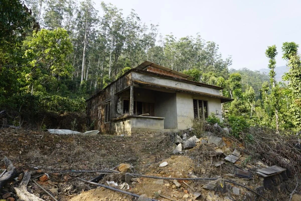
Featured Image Credit: Divya Kilikar/Mongabay (Representative image of Wayanad landslide ruins).
